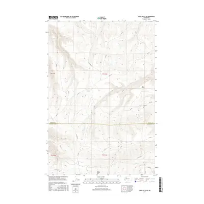
2017 Map of Poisel Butte SW
USGS Topo · Published 2017About this map
Horse Heaven Hills dominate the southern portion of this landscape, where the high ridges of Yakima and Klickitat counties meet. This 2017 survey shows a region defined by its rugged topography and a network of Bureau of Indian Affairs roads, including Bia RD 240 and Bia RD 260, which navigate the steep drainage systems of Mule-Dry Cr and Pine Cr. A notable point of local historical interest is the Onepennee Cem located in the eastern section near a landform identified as The Island. The mapping of seasonal water sources such as Rock Spring and Pine Spring illustrates the arid character of these uplands. This modern record provides a detailed view of current land management boundaries and road infrastructure in a sparsely populated section of the Yakima and Klickitat county border.
Find a feature on this map
26 named features on this map. Tap any name to fly to it.
Don’t see what you’re looking for? This feature index may not catch every label — zoom into the map to look around manually.
Map Details
Editions of this 2017 Poisel Butte SW Map
This is the sole edition of this map. No revisions or reprints were ever made.
Other maps of this area

1910 · Zillah
USGS Topo · 1:125,000

1916 · Arlington
USGS Topo · 1:125,000

1937 · White Swan
USGS Topo · 1:125,000

1950 · Yakima
USGS Topo · 1:250,000

1953 · The Dalles
USGS Topo · 1:250,000

1956 · The Dalles
USGS Topo · 1:250,000

1957 · The Dalles
USGS Topo · 1:250,000

1957 · Satus Pass
USGS Topo · 1:62,500

1958 · Yakima
USGS Topo · 1:250,000

1961 · Yakima
USGS Topo · 1:250,000