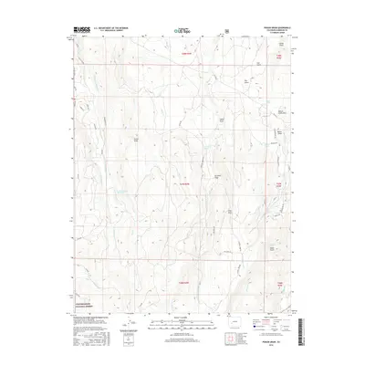
2016 Map of Poison Draw
USGS Topo · Published 2016About this map
Uncompahgre National Forest encompasses the southern portion of this landscape, where the headwaters of numerous creeks begin their descent through the high country. The terrain is defined by a series of north-south drainage systems, including Willow Cr and Pine Cr, which have carved deep features like Poison Draw and Sandy Draw into the plateau. Hydrological features such as Lake Arrowhead Reservoir and the Lake Fork provide key water sources in this arid environment, supplemented by scattered alpine water points like Armitage Springs and Addington Springs. A network of forest roads and trails, including Kebler Trl and Slumgullion Trl, traces the complex topography of Willow Creek Mesa and the surrounding draws, reflecting the area's use for resource management and backcountry transit.
Find a feature on this map
58 named features on this map. Tap any name to fly to it.
Don’t see what you’re looking for? This feature index may not catch every label — zoom into the map to look around manually.
Map Details
Editions of this 2016 Poison Draw Map
This is the sole edition of this map. No revisions or reprints were ever made.
Other maps of this area

1903 · Lake City
USGS Topo · 1:62,500

1905 · Lake City
USGS Topo · 1:62,500

1908 · Uncompahgre
USGS Topo · 1:125,000

1911 · Uncompahgre
USGS Topo · 1:125,000

1954 · Cebolla
USGS Topo · 1:24,000

1954 · Sapinero
USGS Topo · 1:24,000

1954 · Gateview
USGS Topo · 1:24,000

1956 · Curecanti Needle
USGS Topo · 1:24,000

1956 · Montrose
USGS Topo · 1:250,000

1959 · Montrose
USGS Topo · 1:250,000