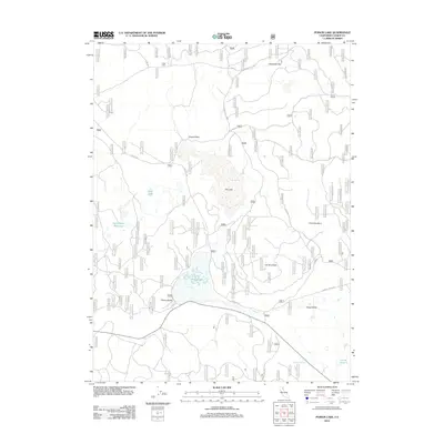
2012 Map of Poison Lake
USGS Topo · Published 2012About this map
Poison Lake and the surrounding high-elevation terrain of Lassen County define this landscape as it appeared in the early 21st century. The map reveals a complex system of seasonal water bodies and forest management, including the ephemeral Dry Lake and the Half Cabin Reservoir. Evidence of environmental change is visible in the Cal-Cone Burn, illustrating the impact of fire on the local topography.
Find a feature on this map
19 named features on this map. Tap any name to fly to it.
Don’t see what you’re looking for? This feature index may not catch every label — zoom into the map to look around manually.
Map Details
Editions of this 2012 Poison Lake Map
This is the sole edition of this map. No revisions or reprints were ever made.
Other maps of this area

1886 · Lassen Peak
USGS Topo · 1:250,000

1892 · Lassen Peak
USGS Topo · 1:250,000

1894 · Lassen Peak
USGS Topo · 1:250,000

1939 · Halls Flat
USGS Topo · 1:125,000

1955 · Westwood
USGS Topo · 1:250,000

1956 · Harvey Mtn
USGS Topo · 1:62,500

1957 · Prospect Peak
USGS Topo · 1:62,500

1957 · Little Valley
USGS Topo · 1:62,500

1957 · Jellico
USGS Topo · 1:62,500

1958 · Westwood
USGS Topo · 1:250,000