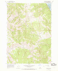
1966 Map of Poker Peak
USGS Topo · Published 1969About this map
Poker Peak and Black Mountain dominate the high-altitude topography of this Idaho-Bonneville County borderland during the mid-1960s. The terrain is defined by a dense network of hydrologic features and forest management infrastructure, notably the Bald Mtn Guard Sta located near Kirk Creek. The northeastern corner of the map captures a significant portion of the Snake River corridor, where the Palisades Res reaches its normal pool elevation of 5,620 feet.
Find a feature on this map
28 named features on this map. Tap any name to fly to it.
Don’t see what you’re looking for? This feature index may not catch every label — zoom into the map to look around manually.
Map Details
Editions of this 1966 Poker Peak Map
2 editions found
Other maps of this area

1932 · Irwin
USGS Topo · 1:96,000

1935 · Irwin
USGS Topo · 1:125,000

1955 · Driggs
USGS Topo · 1:250,000

1958 · Driggs
USGS Topo · 1:250,000

1962 · Driggs
USGS Topo · 1:250,000
1966 · Alpine
USGS Topo · 1:24,000

1966 · Big Elk Mtn
USGS Topo · 1:24,000
1966 · Tincup Mtn
USGS Topo · 1:24,000
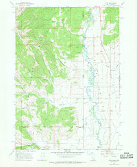
1966 · Etna
USGS Topo · 1:24,000
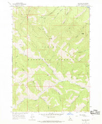
1966 · Red Ridge
USGS Topo · 1:24,000