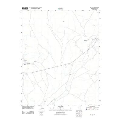
2011 Map of Polacca
USGS Topo · Published 2011About this map
First Mesa and the adjacent highlands of Navajo County define the landscape of this 2011 survey, showing a cluster of centuries-old mesa-top and valley settlements. The map records the tight spatial relationship between ancient villages like Walpi, Sichomovi, and Hano, perched on the narrow fingers of the mesa, and the lower settlement of Polacca. This area is characterized by essential water sources in an arid environment, with numerous springs such as Tawapa Spring, Coyote Spring, and Spider Spring supporting the local populations. To the west, the settlements of Sipaulovi and Mishongnovi stand near Toreva, while Corn Rock and Horseshoe Point provide distinct natural landmarks. The presence of the Polacca Post Office, Second Mesa Post Office, and Polacca Airport indicates the modern infrastructure serving these traditional communities, while the vast Wepo Valley stretches across the southern portion of the quadrangle.
Find a feature on this map
28 named features on this map. Tap any name to fly to it.
Don’t see what you’re looking for? This feature index may not catch every label — zoom into the map to look around manually.
Map Details
Editions of this 2011 Polacca Map
This is the sole edition of this map. No revisions or reprints were ever made.
Other maps of this area

1883 · Tusayan
USGS Topo · 1:250,000

1886 · Tusayan
USGS Topo · 1:250,000

1947 · Flagstaff
USGS Topo · 1:250,000

1954 · Flagstaff
USGS Topo · 1:250,000

1958 · Flagstaff
USGS Topo · 1:250,000

1960 · Flagstaff
USGS Topo · 1:250,000

1962 · Flagstaff
USGS Topo · 1:250,000

1966 · Oraibi
USGS Topo · 1:62,500

1966 · Egloffstein Butte
USGS Topo · 1:62,500

1966 · Tovar Mesa
USGS Topo · 1:62,500