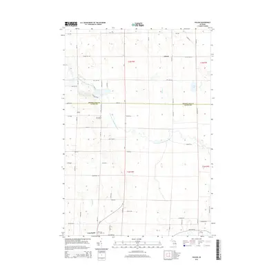
2014 Map of Polaski
USGS Topo · Published 2014About this map
Long Rapids and Leer anchor this portion of Northeast Michigan, where the boundary between Presque Isle Co and Alpena Co divides the landscape. The geography is defined by the winding course of the North Branch Thunder Bay River, which feeds into the unusual basin of Sunken Lake. Local history is centered around quiet crossroads and rural sites of significance, such as the Leer Lutheran Church Cem and the Long Rapids Cem near the southern edge of the quadrangle.
Find a feature on this map
64 named features on this map. Tap any name to fly to it.
Don’t see what you’re looking for? This feature index may not catch every label — zoom into the map to look around manually.
Map Details
Editions of this 2014 Polaski Map
This is the sole edition of this map. No revisions or reprints were ever made.
Other maps of this area

1954 · Alpena
USGS Topo · 1:250,000

1955 · Hillman
USGS Topo · 1:62,500

1957 · Alpena
USGS Topo · 1:250,000

1958 · Alpena
USGS Topo · 1:250,000

1969 · Alpena
USGS Topo · 1:250,000

1971 · Lake Winyah
USGS Topo · 1:24,000

1971 · Long Lake West
USGS Topo · 1:24,000

1971 · Metz
USGS Topo · 1:24,000

1971 · Polaski
USGS Topo · 1:24,000
1971 · Thompsons Harbor
USGS Topo · 1:24,000