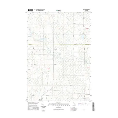
2017 Map of Polaski
USGS Topo · Published 2017About this map
The North Branch Thunder Bay River winds through this rural northern Michigan landscape, crossing the border between Presque Isle and Alpena counties. This 2017 survey shows a region defined by small settlements and persistent family connections, with the hamlets of Polaski and Leer serving as focal points for the surrounding agricultural and forest lands. Significant for genealogical research, the map identifies several local burial grounds, including the Leer Lutheran Church Cem and Saint Paul's Lutheran Church Cem near the northern boundary.
Find a feature on this map
64 named features on this map. Tap any name to fly to it.
Don’t see what you’re looking for? This feature index may not catch every label — zoom into the map to look around manually.
Map Details
Editions of this 2017 Polaski Map
This is the sole edition of this map. No revisions or reprints were ever made.
Other maps of this area

1954 · Alpena
USGS Topo · 1:250,000

1955 · Hillman
USGS Topo · 1:62,500

1957 · Alpena
USGS Topo · 1:250,000

1958 · Alpena
USGS Topo · 1:250,000

1969 · Alpena
USGS Topo · 1:250,000

1971 · Lake Winyah
USGS Topo · 1:24,000

1971 · Long Lake West
USGS Topo · 1:24,000

1971 · Metz
USGS Topo · 1:24,000

1971 · Polaski
USGS Topo · 1:24,000
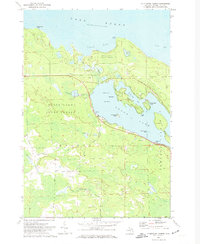
1971 · Thompsons Harbor
USGS Topo · 1:24,000