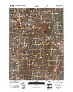
2011 Map of Pole Butte
USGS Topo · Published 2011About this map
Camp Nine and the high elevation recreation areas of Lake County define this section of the Oregon backcountry. The landscape is characterized by volcanic rises such as Pole Butte and Timber Fall Butte, which stand above a network of seasonal water sources and meadows like Lamb Field and Picketpin Flat. These high-country features are essential for understanding the seasonal land use of the region, where numerous named springs—including Picketpin Spring, Picture Tree Springs, and Log Spring—provide critical water in an otherwise arid timberland. The map documents a complex system of Forest Service roads that connect these remote points to the Pole Butte Sno-Park, a hub for winter access. Water drainage is primarily handled by the Chocktoot Creek system and Squaw Creek, which flow through the basin near Emigrant Lake.
Find a feature on this map
26 named features on this map. Tap any name to fly to it.
Don’t see what you’re looking for? This feature index may not catch every label — zoom into the map to look around manually.
Map Details
Editions of this 2011 Pole Butte Map
This is the sole edition of this map. No revisions or reprints were ever made.
Other maps of this area

1889 · Klamath
USGS Topo · 1:250,000

1894 · Klamath
USGS Topo · 1:250,000

1955 · Klamath Falls
USGS Topo · 1:250,000

1958 · Klamath Falls
USGS Topo · 1:250,000

1960 · Riverbed Butte
USGS Topo · 1:62,500

1960 · Sycan Marsh
USGS Topo · 1:62,500

1966 · Summer Lake
USGS Topo · 1:24,000

1966 · Shake Butte
USGS Topo · 1:24,000

1966 · Harvey Creek
USGS Topo · 1:24,000

1966 · Fremont Point
USGS Topo · 1:24,000