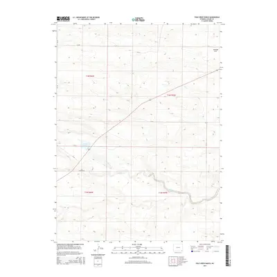
2015 Map of Pole Creek Ranch
USGS Topo · Published 2015About this map
Pole Creek Ranch sits at the heart of this Laramie County landscape, representing the enduring ranching tradition of the Wyoming high plains. The terrain is defined by the eastward flow of Lodgepole Creek (also labeled as Lodgepole Cr) and the prominent Antelope Draw to the northeast. Water management is central to this environment, anchored by the Pole Creek Reservoir, which serves the surrounding agricultural operations. A network of county roads, including CR-220 and CR-128, provides the primary infrastructure connecting these remote holdings, while 85 cuts diagonally across the northern townships. The map illustrates the classic American West township and range survey system, with sections clearly delineated across the drainage basins of the region.
Find a feature on this map
17 named features on this map. Tap any name to fly to it.
Don’t see what you’re looking for? This feature index may not catch every label — zoom into the map to look around manually.
Map Details
Editions of this 2015 Pole Creek Ranch Map
This is the sole edition of this map. No revisions or reprints were ever made.
Other maps of this area

1911 · Cheyenne
USGS Topo · 1:125,000

1914 · Cheyenne
USGS Topo · 1:125,000

1950 · Cheyenne
USGS Topo · 1:62,500

1954 · Cheyenne
USGS Topo · 1:250,000

1958 · Cheyenne
USGS Topo · 1:250,000

1961 · Cheyenne
USGS Topo · 1:62,500

1961 · Cheyenne North
USGS Topo · 1:24,000

1962 · P O Ranch
USGS Topo · 1:24,000

1962 · Lewis Ranch
USGS Topo · 1:24,000

1963 · Little Indian Draw
USGS Topo · 1:24,000