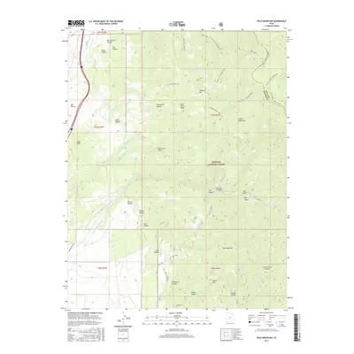
2017 Map of Pole Mountain
USGS Topo · Published 2017About this map
The Tushar Mountains dominate this high-altitude landscape within the Fishlake National Forest, where the complex drainage systems of Piute and Beaver counties meet. The terrain is defined by a series of prominent peaks and ridges, including Pole Mountain, Tanner Mtn, and the Red Butte Hills. A network of historic forest trails, such as the Little N Cr-Wittwer Hill route and Trail 3591, navigate the steep canyons and hollows that characterize this section of the range.
Find a feature on this map
61 named features on this map. Tap any name to fly to it.
Don’t see what you’re looking for? This feature index may not catch every label — zoom into the map to look around manually.
Map Details
Editions of this 2017 Pole Mountain Map
This is the sole edition of this map. No revisions or reprints were ever made.
Other maps of this area

1885 · Beaver
USGS Topo · 1:250,000

1932 · Sevier
USGS Topo · 1:62,500

1935 · Sevier
USGS Topo · 1:62,500

1937 · Delano Peak
USGS Topo · 1:48,000

1943 · Delano Peak
USGS Topo · 1:62,500

1953 · Richfield
USGS Topo · 1:250,000

1954 · Beaver SE
USGS Topo · 1:24,000

1954 · Beaver NE
USGS Topo · 1:24,000

1958 · Richfield
USGS Topo · 1:250,000

1958 · Beaver
USGS Topo · 1:62,500