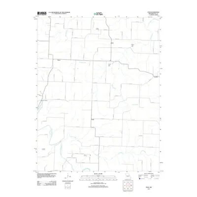
2011 Map of Polk
USGS Topo · Published 2011About this map
Pomme de Terre River meanders through the southwestern quadrant of this Missouri landscape, joined by the waters of Hominy Creek as it moves north. Small rural settlements including Polk, Huron, Violet, and Goodson are connected by a precise grid of county roads, reflecting the established agricultural layout of Polk County. The terrain is defined by a dense network of drainages, including Stinking Creek, Panther Creek, and Davis Creek, which feed into local impoundments such as Warren Lake Dam and Gordon Lake Dam. For those researching local history or genealogy, the map identifies several burial grounds scattered across the countryside, including Payne Cemetery in the north and Goff Cemetery near the center. The mapping of named branches like Claude Branch and Lindley Creek helps delineate the specific drainage basins that have shaped the settlement patterns of this region.
Find a feature on this map
58 named features on this map. Tap any name to fly to it.
Don’t see what you’re looking for? This feature index may not catch every label — zoom into the map to look around manually.
Map Details
Editions of this 2011 Polk Map
This is the sole edition of this map. No revisions or reprints were ever made.
Other maps of this area

1884 · Bolivar
USGS Topo · 1:125,000

1892 · Bolivar
USGS Topo · 1:125,000

1942 · Elkton
USGS Topo · 1:24,000

1949 · Elkton
USGS Topo · 1:24,000

1949 · Sentinel
USGS Topo · 1:24,000

1950 · Elkton
USGS Topo · 1:24,000

1950 · Sentinel
USGS Topo · 1:24,000

1950 · Buffalo NW
USGS Topo · 1:24,000

1950 · Polk
USGS Topo · 1:24,000

1950 · Urbana
USGS Topo · 1:24,000