
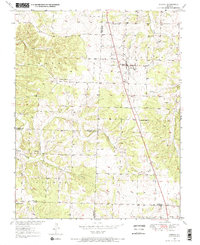
1950 Map of Urbana
USGS Topo · Published 1967About this map
Urbana and Louisburg anchor this mid-century survey of the Missouri Ozarks, where the tri-county boundary of Hickory, Dallas, and Polk meets. The landscape is defined by the headwaters of numerous small waterways, including Ingalls Creek, Stick Branch, and Thomas Creek, which carve through the townships of Lincoln and Greene. This era shows a distributed rural community sustained by local landmarks such as Bower Chapel, Pleasant Ridge Ch, and Mission Ridge Ch.
Find a feature on this map
22 named features on this map. Tap any name to fly to it.
Don’t see what you’re looking for? This feature index may not catch every label — zoom into the map to look around manually.
Map Details
Editions of this 1950 Urbana Map
2 editions found
Other maps of this area

1884 · Bolivar
USGS Topo · 1:125,000

1892 · Bolivar
USGS Topo · 1:125,000

1949 · Sentinel
USGS Topo · 1:24,000

1950 · Sentinel
USGS Topo · 1:24,000

1950 · Buffalo NW
USGS Topo · 1:24,000

1950 · Polk
USGS Topo · 1:24,000

1951 · Buffalo NW
USGS Topo · 1:24,000

1951 · Urbana
USGS Topo · 1:24,000

1951 · Polk
USGS Topo · 1:24,000
1951 · Hermitage
USGS Topo · 1:62,500