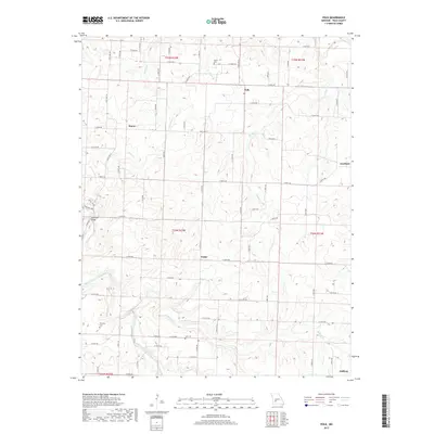
2017 Map of Polk
USGS Topo · Published 2017About this map
Polk and Huron anchor the northern landscape of this rural Polk County quadrangle, where the terrain transitions from the heights of Holly Ridge down into a network of fertile creek bottoms. The Pomme de Terre River winds through the southwestern corner, while Panther Cr and Hominy Cr drain the central and eastern reaches. This modern survey illustrates the persistent agricultural and residential patterns of the area, centered around small communities like Violet and Halfway. The map provides specific locations for local family history research, including the Payne Cem, Dunaway Cem, and Goff Cem. Notable infrastructure such as the Jefferson Bridge near the western boundary shows how the local road network, including State Hwy D and State Hwy AA, has been developed to navigate the region's undulating topography and numerous watercourses like Davis Cr and Lindley Cr.
Find a feature on this map
46 named features on this map. Tap any name to fly to it.
Don’t see what you’re looking for? This feature index may not catch every label — zoom into the map to look around manually.
Map Details
Editions of this 2017 Polk Map
This is the sole edition of this map. No revisions or reprints were ever made.
Other maps of this area

1884 · Bolivar
USGS Topo · 1:125,000

1892 · Bolivar
USGS Topo · 1:125,000

1942 · Elkton
USGS Topo · 1:24,000

1949 · Elkton
USGS Topo · 1:24,000

1949 · Sentinel
USGS Topo · 1:24,000

1950 · Elkton
USGS Topo · 1:24,000

1950 · Sentinel
USGS Topo · 1:24,000

1950 · Buffalo NW
USGS Topo · 1:24,000

1950 · Polk
USGS Topo · 1:24,000

1950 · Urbana
USGS Topo · 1:24,000