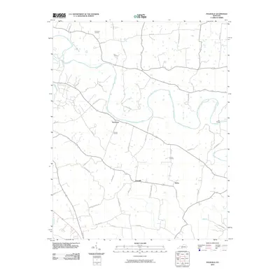
2010 Map of Polkville
USGS Topo · Published 2010About this map
Barren River meanders across the center of this Kentucky landscape, its winding course defining the layout of rural farm roads and small communities in the early 21st century. The settlement of Hardcastle sits near the river's bend, while the small cluster at Greenhill and the crossroads at Motley anchor the southern portion of the quadrangle. The terrain is a network of ridges and river bottoms, interconnected by lanes bearing family names like H E Johnson Rd and Ben Thomas Rd, suggesting generations of local landholding.
Find a feature on this map
47 named features on this map. Tap any name to fly to it.
Don’t see what you’re looking for? This feature index may not catch every label — zoom into the map to look around manually.
Map Details
Editions of this 2010 Polkville Map
This is the sole edition of this map. No revisions or reprints were ever made.
Other maps of this area

1921 · Bowling Green
USGS Topo · 1:62,500

1922 · Brownsville
USGS Topo · 1:62,500

1922 · Mammoth Cave
USGS Topo · 1:62,500

1923 · Bowling Green
USGS Topo · 1:62,500

1923 · Mammoth Cave
USGS Topo · 1:62,500

1923 · Brownsville
USGS Topo · 1:62,500

1926 · Scottsville
USGS Topo · 1:62,500

1954 · Evansville
USGS Topo · 1:250,000

1954 · Bowling Green North
USGS Topo · 1:24,000

1954 · Drake
USGS Topo · 1:24,000