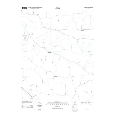
2013 Map of Polkville
USGS Topo · Published 2013About this map
The Barren River meanders across this rural Warren County landscape, joined by major tributaries like Drakes Cr and Bays Fork. The settlement pattern is defined by small, unincorporated communities linked by a network of winding local roads, with Hardcastle, Polkville, and Gotts serving as primary local hubs. These clusters of homesteads and small intersections reflect the enduring agricultural character of the region south of Bowling Green.
Find a feature on this map
77 named features on this map. Tap any name to fly to it.
Don’t see what you’re looking for? This feature index may not catch every label — zoom into the map to look around manually.
Map Details
Editions of this 2013 Polkville Map
This is the sole edition of this map. No revisions or reprints were ever made.
Other maps of this area

1921 · Bowling Green
USGS Topo · 1:62,500

1922 · Brownsville
USGS Topo · 1:62,500

1922 · Mammoth Cave
USGS Topo · 1:62,500

1923 · Bowling Green
USGS Topo · 1:62,500

1923 · Mammoth Cave
USGS Topo · 1:62,500

1923 · Brownsville
USGS Topo · 1:62,500

1926 · Scottsville
USGS Topo · 1:62,500

1954 · Evansville
USGS Topo · 1:250,000

1954 · Bowling Green North
USGS Topo · 1:24,000

1954 · Drake
USGS Topo · 1:24,000