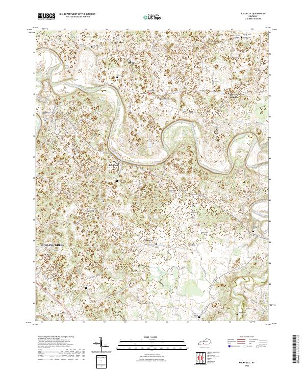
2022 Map of Polkville
USGS Topo · Published 2022About this map
The Barren River winds through a landscape defined by small rural hubs and an extensive network of family cemeteries in this part of Warren County. Settlements like Gotts, Hardcastle, and Polkville serve as central points in a terrain marked by numerous burial grounds that provide deep genealogical value, such as the Gaines - Smith - Parker - Wheeler Cem and Mount Tabor Cem. The presence of many church-affiliated sites, including the Berea Christian Church Cem and Bethel United Methodist Church Cem, suggests a long-standing community structure built around local congregations.
Find a feature on this map
105 named features on this map. Tap any name to fly to it.
Don’t see what you’re looking for? This feature index may not catch every label — zoom into the map to look around manually.
Map Details
Editions of this 2022 Polkville Map
This is the sole edition of this map. No revisions or reprints were ever made.
Historical Maps of Greenhill Through Time
28 maps found
1952 Rockfield
Warren County, KY

1954 Bowling Green North
Warren County, KY
1954 Bowling Green South
Warren County, KY
1954 Bristow
Warren County, KY

1954 Drake
Warren County, KY
1954 Hadley
Warren County, KY
1954 Meador
Warren County, KY
1954 Polkville
Warren County, KY
1959 Bowling Green North
Warren County, KY
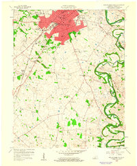
1959 Bowling Green South
Warren County, KY
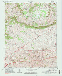
1965 Bristow
Warren County, KY
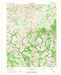
1965 Meador
Warren County, KY
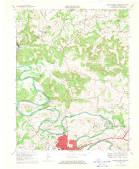
1968 Bowling Green North
Warren County, KY
1968 Bowling Green South
Warren County, KY
1968 Drake
Warren County, KY
1973 Hadley
Warren County, KY
1973 Rockfield
Warren County, KY
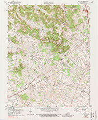
1979 Rockfield
Warren County, KY
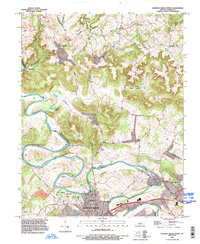
1993 Bowling Green North
Warren County, KY
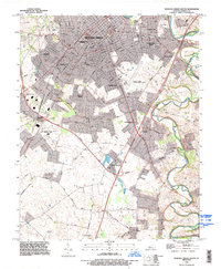
1993 Bowling Green South
Warren County, KY
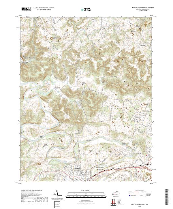
2022 Bowling Green North
Warren County, KY
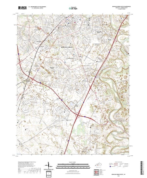
2022 Bowling Green South
Warren County, KY
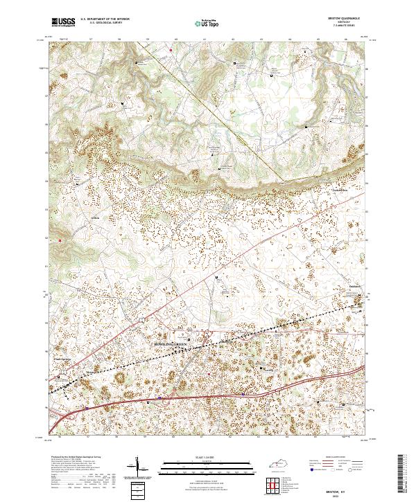
2022 Bristow
Warren County, KY
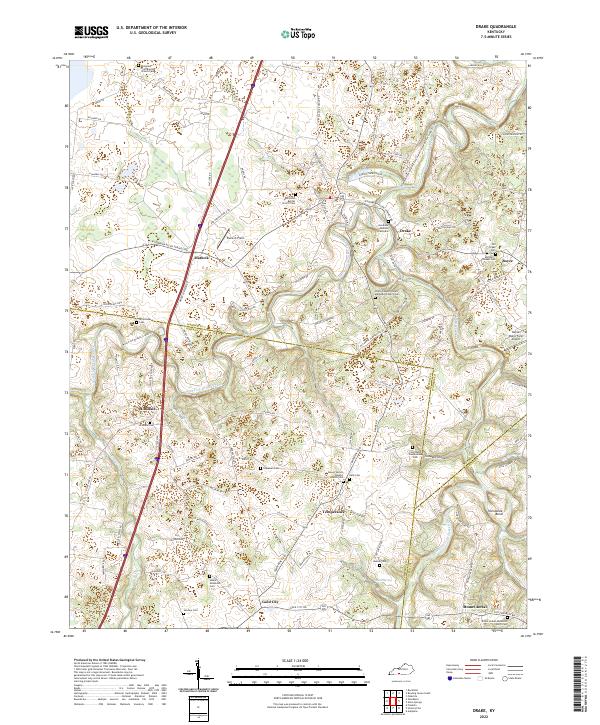
2022 Drake
Warren County, KY
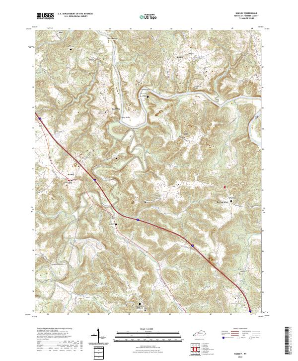
2022 Hadley
Warren County, KY
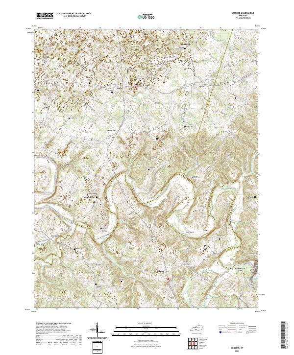
2022 Meador
Warren County, KY
2022 Polkville
Warren County, KY
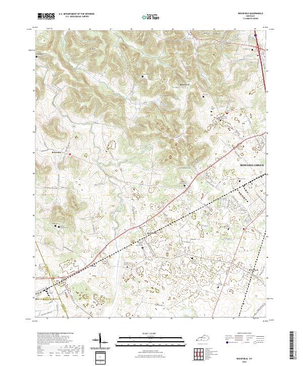
2022 Rockfield
Warren County, KY