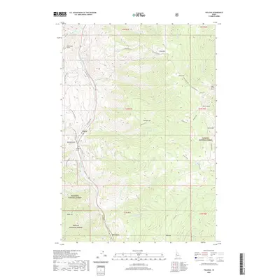
2020 Map of Pollock
USGS Topo · Published 2020About this map
The Little Salmon River carves through the Idaho canyonlands in this recent 2020 topographic survey, highlighting the corridor where the settlements of Pollock and Pinehurst are situated. This area is defined by sharp elevation shifts and steep drainages, including the dramatic Slaughter Gulch and Ranyhan Gulch that flank the river valley. The map documents the intersection of the Payette National Forest and the Nez Perce National Forest, illustrating how federal land management dominates this portion of Adams and Idaho Counties.
Find a feature on this map
55 named features on this map. Tap any name to fly to it.
Don’t see what you’re looking for? This feature index may not catch every label — zoom into the map to look around manually.
Map Details
Editions of this 2020 Pollock Map
This is the sole edition of this map. No revisions or reprints were ever made.
Other maps of this area
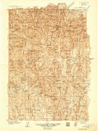
1938 · Riggins
USGS Topo · 1:96,000
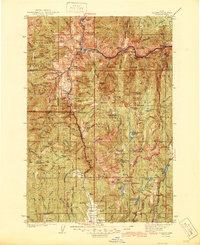
1945 · Riggins
USGS Topo · 1:125,000
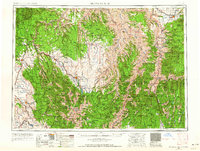
1955 · Grangeville
USGS Topo · 1:250,000
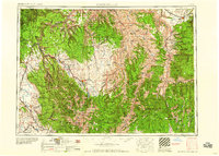
1959 · Grangeville
USGS Topo · 1:250,000
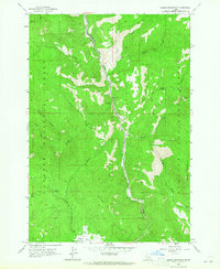
1963 · Indian Mountain
USGS Topo · 1:24,000
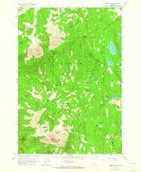
1963 · Hazard Lake
USGS Topo · 1:24,000
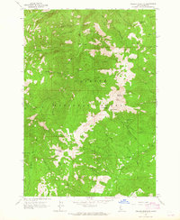
1963 · Pollock Mountain
USGS Topo · 1:24,000
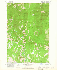
1964 · Patrick Butte
USGS Topo · 1:24,000
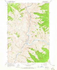
1964 · Riggins
USGS Topo · 1:24,000
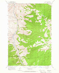
1964 · Pollock
USGS Topo · 1:24,000