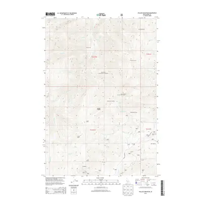
2013 Map of Pollock Mountain
USGS Topo · Published 2013About this map
The Payette National Forest landscape is defined by the high-elevation drainage systems of the Rapid River and its numerous tributaries. This 2013 survey of the Idaho-Adams county line region reveals a backcountry infrastructure geared toward forest management and seasonal grazing. Primitive camps like Campbells Cow Camp and Star Creek Camp are scattered across the terrain, while the Pollock Mountain Lookout stands atop the namesake Pollock Mtn. Significant vertical features like the Devils Ladder and Cold Springs Saddle mark the passes through this part of the Salmon River Mountains.
Find a feature on this map
55 named features on this map. Tap any name to fly to it.
Don’t see what you’re looking for? This feature index may not catch every label — zoom into the map to look around manually.
Map Details
Editions of this 2013 Pollock Mountain Map
This is the sole edition of this map. No revisions or reprints were ever made.
Other maps of this area

1920 · Seven Devils Mining District
USGS Topo · 1:48,000

1922 · He Devil
USGS Topo · 1:48,000

1938 · Riggins
USGS Topo · 1:96,000

1945 · Riggins
USGS Topo · 1:125,000

1955 · Grangeville
USGS Topo · 1:250,000

1957 · He Devil
USGS Topo · 1:62,500

1957 · Cuprum
USGS Topo · 1:62,500

1959 · Grangeville
USGS Topo · 1:250,000

1963 · Bally Mountain
USGS Topo · 1:24,000

1963 · Indian Mountain
USGS Topo · 1:24,000