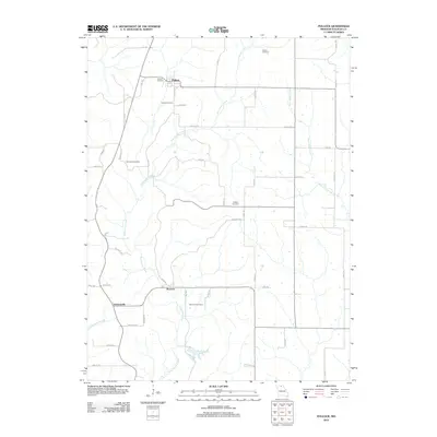
2012 Map of Pollock
USGS Topo · Published 2012About this map
Pollock and the surrounding rural landscape of Sullivan County are defined by the meandering courses of East Locust Creek and West Yellow Creek. The settlement pattern here is deeply tied to the local topography, with roads like Kentucky Rd and King Rd connecting small clusters of development at Boynton and Jacksonville.
Find a feature on this map
50 named features on this map. Tap any name to fly to it.
Don’t see what you’re looking for? This feature index may not catch every label — zoom into the map to look around manually.
Map Details
Editions of this 2012 Pollock Map
This is the sole edition of this map. No revisions or reprints were ever made.
Other maps of this area

1912 · Green City
USGS Topo · 1:62,500

1914 · Green City
USGS Topo · 1:62,500

1954 · Centerville
USGS Topo · 1:250,000

1957 · Centerville
USGS Topo · 1:250,000

1958 · Centerville
USGS Topo · 1:250,000
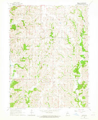
1963 · Mystic
USGS Topo · 1:24,000

1964 · Pollock NW
USGS Topo · 1:24,000

1964 · Milan West
USGS Topo · 1:24,000
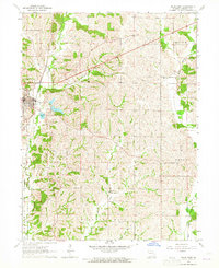
1964 · Milan East
USGS Topo · 1:24,000

1964 · Unionville West
USGS Topo · 1:24,000