
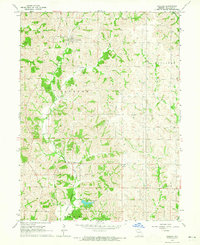
1964 Map of Milan West
USGS Topo · Published 1965About this map
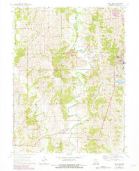
Milan serves as the primary hub in this mid-1960s survey of central Sullivan County, situated where the terrain begins its descent toward the winding waters of Locust Creek. The landscape is a patchwork of agricultural fields and timber, defined by the boundaries of Liberty, Polk, Bowman, and Duncan townships. A significant piece of local transportation history is visible in the Railroad Grade that passes through the settlement of Reger, indicating the path of former rail commerce that once supported this rural economy.
Find a feature on this map
19 named features on this map. Tap any name to fly to it.
Don’t see what you’re looking for? This feature index may not catch every label — zoom into the map to look around manually.
Map Details
Editions of this 1964 Milan West Map
2 editions found
Other maps of this area

1946 · Galt
USGS Topo · 1:62,500

1949 · Galt
USGS Topo · 1:62,500

1954 · Centerville
USGS Topo · 1:250,000

1957 · Centerville
USGS Topo · 1:250,000

1958 · Centerville
USGS Topo · 1:250,000
1964 · Milan SE
USGS Topo · 1:24,000

1964 · Harris
USGS Topo · 1:24,000
1964 · Browning
USGS Topo · 1:24,000
1964 · Milan East
USGS Topo · 1:24,000
1964 · Pollock
USGS Topo · 1:24,000