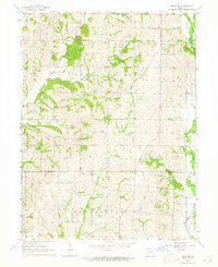
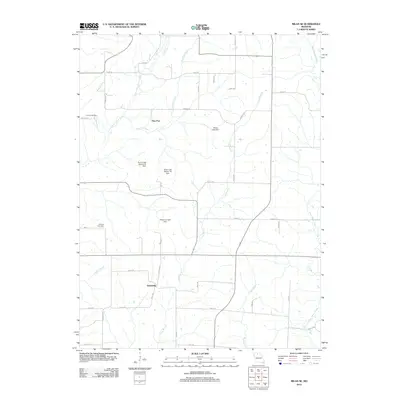
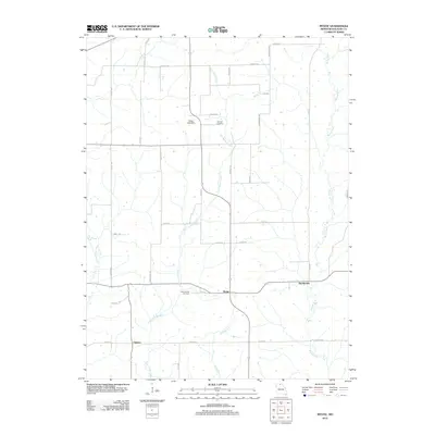
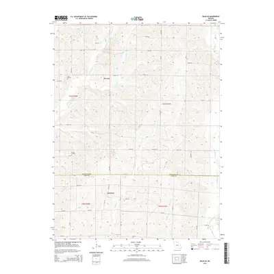
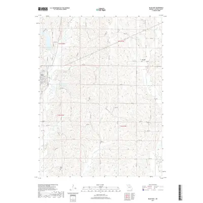
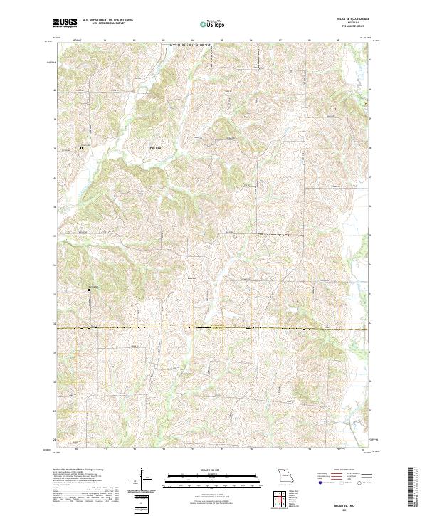
1964 Map of Milan West
USGS Topo · Published 1981About this map
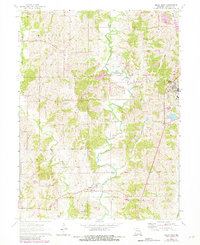
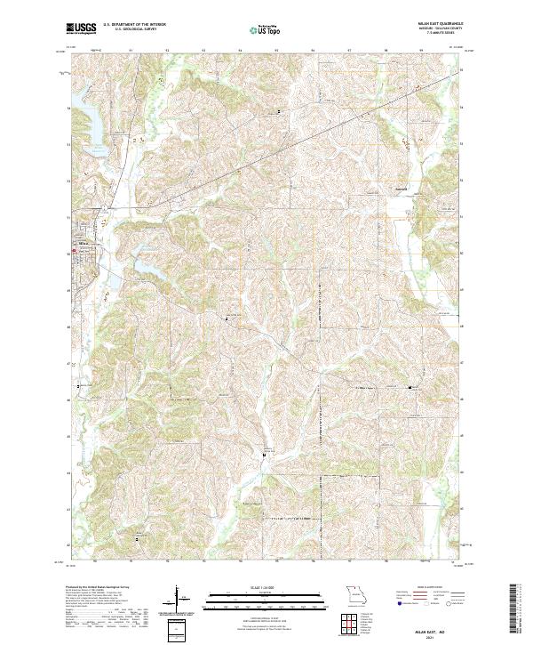
West Locust Creek meanders through the heart of Sullivan County in this detailed mid-century survey, dividing the townships of Liberty, Polk, Bowman, and Duncan. The eastern edge is anchored by the county seat of Milan, where the Burlington Northern railroad corridor and local industry like Gravel Pits shaped the local economy. Further west, the small settlement of Reger sits along the rail line, providing a focal point for the surrounding agricultural community.
Find a feature on this map
16 named features on this map. Tap any name to fly to it.
Don’t see what you’re looking for? This feature index may not catch every label — zoom into the map to look around manually.
Map Details
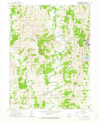
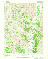
Editions of this 1964 Milan West Map
2 editions found
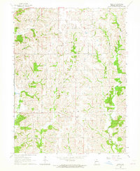
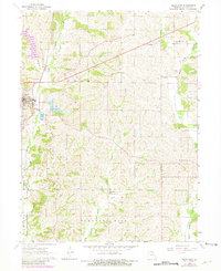
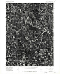
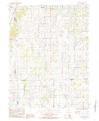
Historical Maps of Milan Through Time
31 maps found
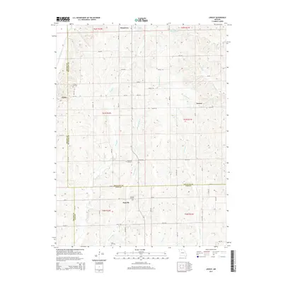
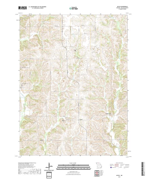
1963 Mystic
Sullivan County, MO
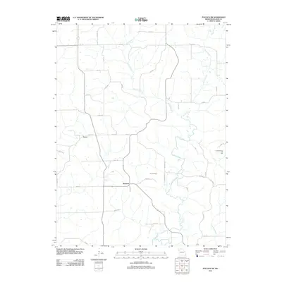
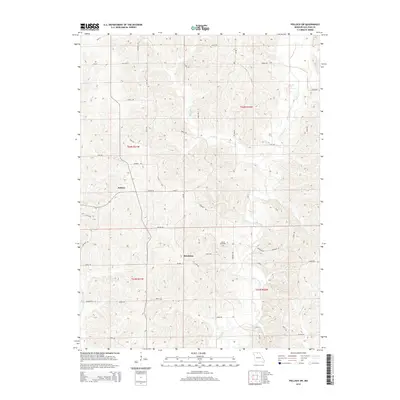
1964 Milan East
Sullivan County, MO
1964 Milan SE
Sullivan County, MO
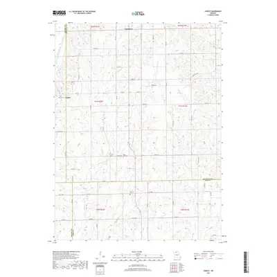
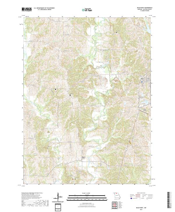
1964 Milan West
Sullivan County, MO
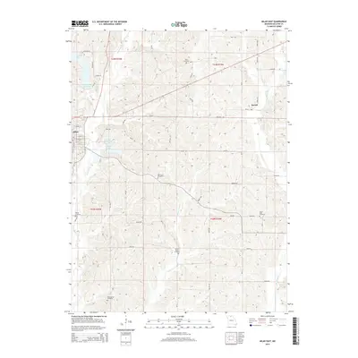
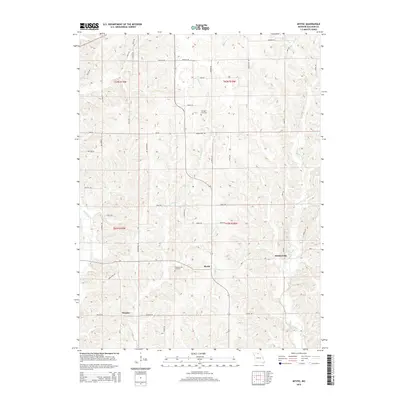
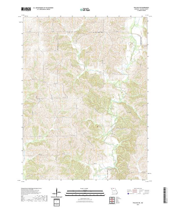
1964 Pollock SW
Sullivan County, MO
1974 Green City SW
Sullivan County, MO
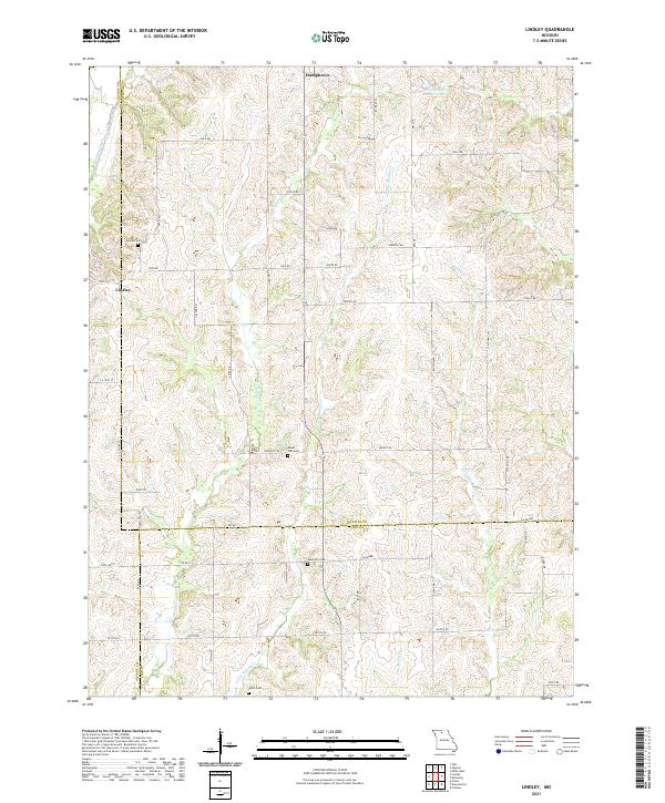
1984 Lindley
Sullivan County, MO
2012 Lindley
Sullivan County, MO
2012 Milan East
Sullivan County, MO
2012 Milan SE
Sullivan County, MO
2012 Milan West
Sullivan County, MO
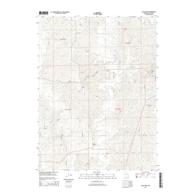
2012 Mystic
Sullivan County, MO
2012 Pollock SW
Sullivan County, MO
2014 Lindley
Sullivan County, MO
2014 Milan East
Sullivan County, MO
2014 Milan SE
Sullivan County, MO
2014 Pollock SW
Sullivan County, MO
2015 Milan West
Sullivan County, MO
2015 Mystic
Sullivan County, MO
2017 Lindley
Sullivan County, MO
2017 Milan East
Sullivan County, MO
2017 Milan SE
Sullivan County, MO
2017 Milan West
Sullivan County, MO
2017 Mystic
Sullivan County, MO
2017 Pollock SW
Sullivan County, MO
2021 Lindley
Sullivan County, MO
2021 Milan East
Sullivan County, MO
2021 Milan SE
Sullivan County, MO
2021 Milan West
Sullivan County, MO
2021 Mystic
Sullivan County, MO
2021 Pollock SW
Sullivan County, MO