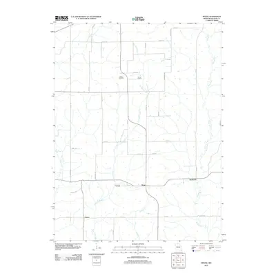
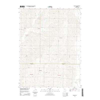
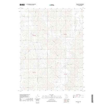
2021 Map of Pollock SW
USGS Topo · Published 2021About this map
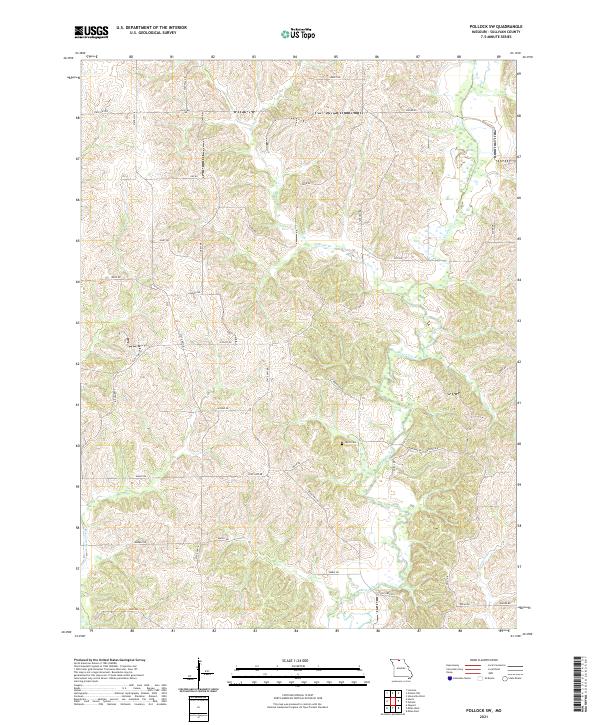
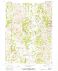
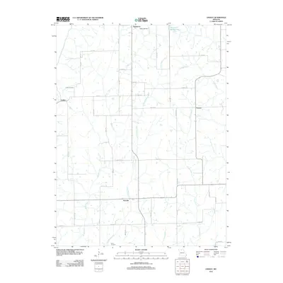
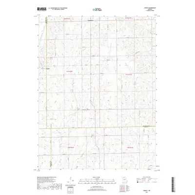
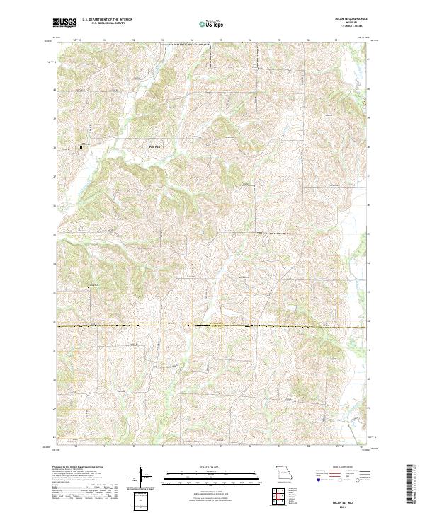
Locust Creek and its various tributaries, including W Locust Cr and Rooks Br, define the drainage patterns of this rural Sullivan County landscape. The area is characterized by a dense grid of local roads named for families and landmarks, such as Kay Rd, Noble Rd, and Jolly Rd, which connect the scattered agricultural holdings. A point of significant genealogical interest is Hurst Cem, located near the intersection of Mesa Dr and Doral Dr. The map also illustrates the modern highway network, showing where State Hwy BB and State Hwy OO cut through the terrain to link these quiet rural communities. This survey provides a precise look at the 21st-century land use and infrastructure in this portion of Missouri.
Find a feature on this map
39 named features on this map. Tap any name to fly to it.
Don’t see what you’re looking for? This feature index may not catch every label — zoom into the map to look around manually.
Map Details
Editions of this 2021 Pollock SW Map
This is the sole edition of this map. No revisions or reprints were ever made.
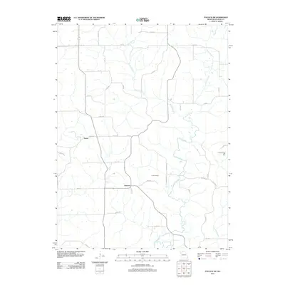
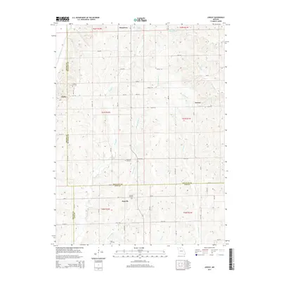
Historical Maps of Bairdston Through Time
31 maps found
1963 Mystic
Sullivan County, MO
1964 Milan East
Sullivan County, MO
1964 Milan SE
Sullivan County, MO
1964 Milan West
Sullivan County, MO
1964 Pollock SW
Sullivan County, MO
1974 Green City SW
Sullivan County, MO
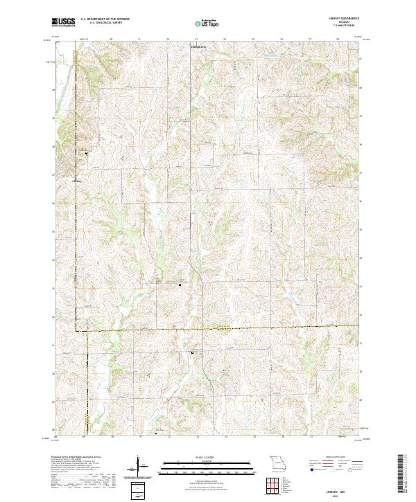
1984 Lindley
Sullivan County, MO
2012 Lindley
Sullivan County, MO
2012 Milan East
Sullivan County, MO
2012 Milan SE
Sullivan County, MO
2012 Milan West
Sullivan County, MO
2012 Mystic
Sullivan County, MO
2012 Pollock SW
Sullivan County, MO
2014 Lindley
Sullivan County, MO
2014 Milan East
Sullivan County, MO
2014 Milan SE
Sullivan County, MO
2014 Pollock SW
Sullivan County, MO
2015 Milan West
Sullivan County, MO
2015 Mystic
Sullivan County, MO
2017 Lindley
Sullivan County, MO
2017 Milan East
Sullivan County, MO
2017 Milan SE
Sullivan County, MO
2017 Milan West
Sullivan County, MO
2017 Mystic
Sullivan County, MO
2017 Pollock SW
Sullivan County, MO
2021 Lindley
Sullivan County, MO
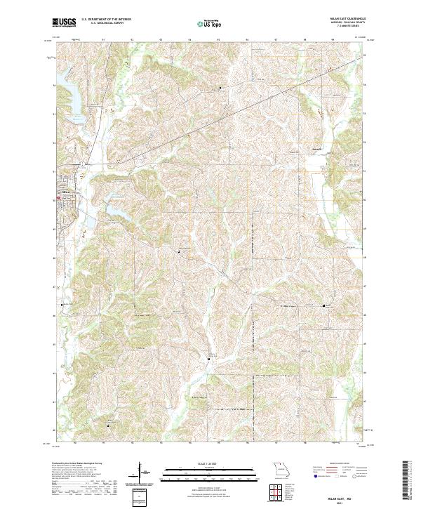
2021 Milan East
Sullivan County, MO
2021 Milan SE
Sullivan County, MO
2021 Milan West
Sullivan County, MO
2021 Mystic
Sullivan County, MO
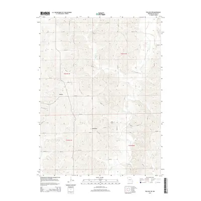
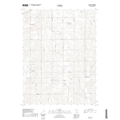
2021 Pollock SW
Sullivan County, MO