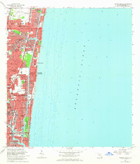
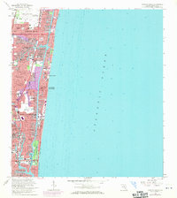
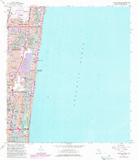
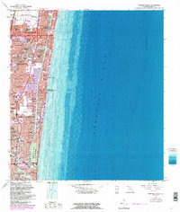
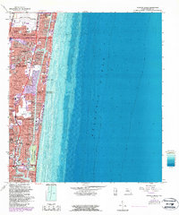
1962 Map of Pompano Beach
USGS Topo · Published 1964About this map
Pompano Beach and the neighboring coastal communities of Broward County are captured here in the early 1960s, showing a landscape defined by an intricate network of man-made canals and finger islands. The expansion of residential neighborhoods like Garden Isles, Cypress Isles Estates, and Soroka Shores illustrates the mid-century transformation of the Florida coastline into a series of waterfront developments along the Intracoastal Waterway. This era of growth is further evidenced by the infrastructure supporting these new populations, from the Municipal Airport and Filtration Plant in the north to the Holy Cross Hospital and Cardinal Gibbons High Sch near Coral Hills.
Find a feature on this map
81 named features on this map. Tap any name to fly to it.
Don’t see what you’re looking for? This feature index may not catch every label — zoom into the map to look around manually.
Map Details
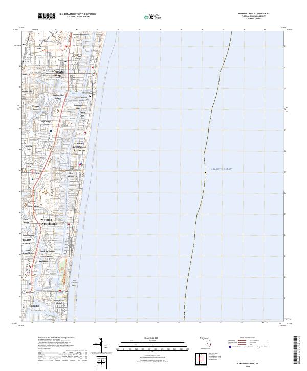
Editions of this 1962 Pompano Beach Map
5 editions found
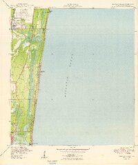
Historical Maps of Broward County Through Time
3 maps found
Featured Locations
- Fort Lauderdale, FL
- Lauderdale-by-the-Sea, FL
- Pompano Beach, FL
- Birch Ocean Front, Fort Lauderdale
- Sunrise Key, Fort Lauderdale