Loading...
Loading map...1962 Map of Pompano Beach
USGS Topo · Published 1970About this map
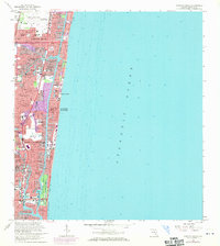
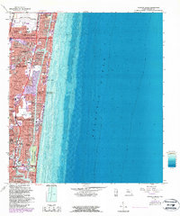
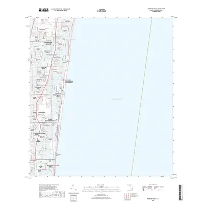
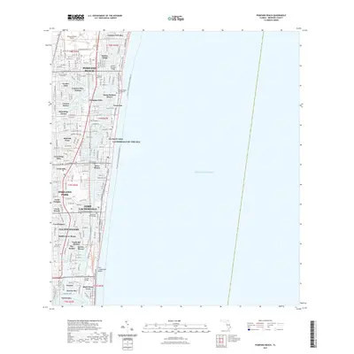
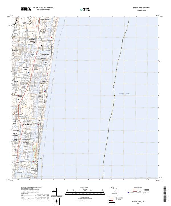
The Intracoastal Waterway carves a straight path through this coastal landscape, separating the mainland from a dense strip of barrier island developments. By the late 1960s, the region saw an intricate network of man-made canals and finger islands, defining neighborhoods like Garden Isles, Cypress Isles Estates, and Soroka Shores. This hydraulic engineering significantly altered the natural drainage to create waterfront property, a hallmark of mid-century Floridian urban planning.
Find a feature on this map
67 named features on this map. Tap any name to fly to it.
Don’t see what you’re looking for? This feature index may not catch every label — zoom into the map to look around manually.
Map Details
Date Portrayed1962
Date Published1970
PublisherU.S. Geological Survey
Map TypeTopographic
Scale1:24,000
Physical Dimensions24 x 26.8 inches
Editions of this 1962 Pompano Beach Map
5 editions found
Historical Maps of Fort Lauderdale Through Time
7 maps found
Featured Locations
- Fort Lauderdale, FL
- Lauderdale-by-the-Sea, FL
- Pompano Beach, FL
- Birch Ocean Front, Fort Lauderdale
- Sunrise Key, Fort Lauderdale
Source Details
SourceU.S. Geological Survey
CopyrightPublic Domain