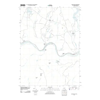
2010 Map of Pond Eddy
USGS Topo · Published 2010About this map
The Delaware River carves a winding path through this corner of Orange County, anchoring a series of small river settlements including Pond Eddy, Rosas, Knights Eddy, and Mongaup. The landscape is defined by its dramatic relief, rising from the riverbanks to significant high points such as Tink Hill and Buckhorn Ridge. This 2010 survey highlights the balance between early 20th-century infrastructure, like the Rio Reservoir on the Mongaup River, and dedicated conservation lands such as the Buckhorn Natural Area.
Find a feature on this map
67 named features on this map. Tap any name to fly to it.
Don’t see what you’re looking for? This feature index may not catch every label — zoom into the map to look around manually.
Map Details
Editions of this 2010 Pond Eddy Map
This is the sole edition of this map. No revisions or reprints were ever made.
Other maps of this area

1906 · Port Jervis
USGS Topo · 1:62,500

1908 · Port Jervis
USGS Topo · 1:62,500

1909 · Monticello
USGS Topo · 1:62,500

1911 · Monticello
USGS Topo · 1:62,500

1913 · Milford
USGS Topo · 1:62,500

1915 · Milford
USGS Topo · 1:62,500

1922 · White Lake
USGS Topo · 1:62,500

1942 · White Lake
USGS Topo · 1:62,500

1942 · Port Jervis North
USGS Topo · 1:24,000
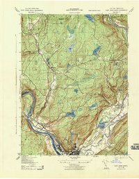
1943 · Port Jervis North
USGS Topo · 1:31,680