
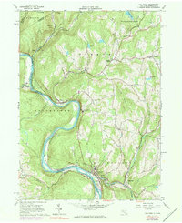
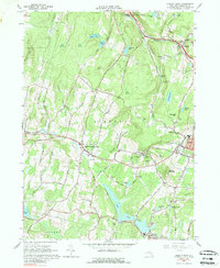
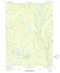
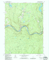
2023 Map of Pond Eddy
USGS Topo · Published 2023About this map
The Delaware River carves a deep path through the borderlands of New York and Pennsylvania, defining the geography of this 2023 survey. This reach of the river is protected as both the Upper Delaware Wild and Scenic River and the Upper Delaware Scenic and Recreational River, reflecting its modern importance for conservation. Small riverside settlements like Pond Eddy and Knights Eddy occupy the narrow benches between the water and the high ground of Buckhorn Ridge.
Find a feature on this map
98 named features on this map. Tap any name to fly to it.
Don’t see what you’re looking for? This feature index may not catch every label — zoom into the map to look around manually.
Map Details
Editions of this 2023 Pond Eddy Map
This is the sole edition of this map. No revisions or reprints were ever made.
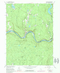
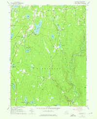
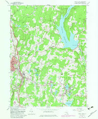
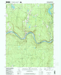
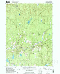
Historical Maps of Knights Eddy Through Time
23 maps found
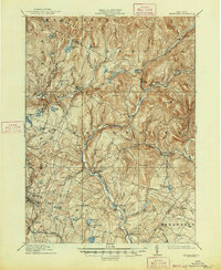
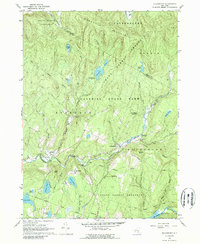
1910 Neversink
Sullivan County, NY
1942 Neversink
Sullivan County, NY
1944 Neversink
Sullivan County, NY
1965 Callicoon
Sullivan County, NY
1965 Liberty West
Sullivan County, NY
1965 Pond Eddy
Sullivan County, NY
1966 Hartwood
Sullivan County, NY
1966 Liberty East
Sullivan County, NY
1966 Willowemoc
Sullivan County, NY
1966 Yankee Lake
Sullivan County, NY
1967 Highland Lake
Sullivan County, NY
1992 Callicoon
Sullivan County, NY
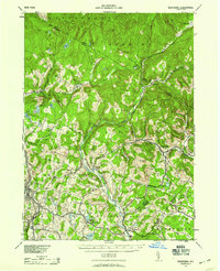
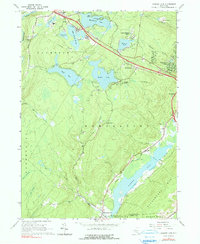
1992 Pond Eddy
Sullivan County, NY
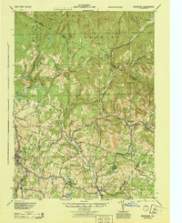
1997 Pond Eddy
Sullivan County, NY
1997 Willowemoc
Sullivan County, NY

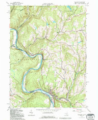
2023 Callicoon
Sullivan County, NY

2023 Hartwood
Sullivan County, NY

2023 Highland Lake
Sullivan County, NY

2023 Liberty East
Sullivan County, NY

2023 Liberty West
Sullivan County, NY
2023 Pond Eddy
Sullivan County, NY

2023 Willowemoc
Sullivan County, NY

2023 Yankee Lake
Sullivan County, NY