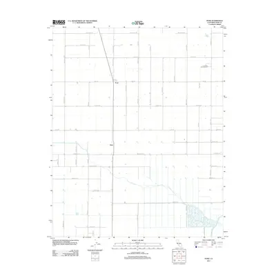
2012 Map of Pond
USGS Topo · Published 2012About this map
Agricultural grid lines and irrigation channels define this portion of the San Joaquin Valley just before the mid-2010s. The small settlement of Pond sits at the intersection of Pond Rd and Wasco-Pond Rd, serving as a central point for the surrounding farmsteads. To the south, the community of Elmo is positioned along the same north-south transit corridor, illustrating the linear development pattern common to California's Central Valley.
Find a feature on this map
38 named features on this map. Tap any name to fly to it.
Don’t see what you’re looking for? This feature index may not catch every label — zoom into the map to look around manually.
Map Details
Editions of this 2012 Pond Map
This is the sole edition of this map. No revisions or reprints were ever made.
Other maps of this area

1927 · McFarland
USGS Topo · 1:31,680

1929 · Delano
USGS Topo · 1:31,680

1929 · Stone
USGS Topo · 1:31,680

1929 · Allensworth
USGS Topo · 1:31,680

1930 · McFarland
USGS Topo · 1:31,680

1930 · Leonards
USGS Topo · 1:31,680

1930 · Hamlin School
USGS Topo · 1:31,680

1930 · Wasco
USGS Topo · 1:31,680

1930 · Pond
USGS Topo · 1:31,680

1930 · Famoso
USGS Topo · 1:31,680