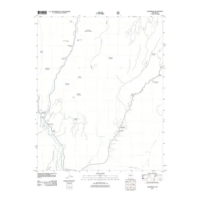
2011 Map of Ponderosa
USGS Topo · Published 2011About this map
Ponderosa and Vallecitos occupy the lower elevations of this high-country landscape, where residential life is concentrated near the banks of Vallecito Creek. The map records a complex mining and excavation history in the surrounding canyons, marked by operations such as the Spanish Queen Mine, Pyramid Pumice Mine, and the Tex-N Prospect. These industrial sites sit in close proximity to recreation areas like the Spanish Queen Picnic Area and Vista Linda Campground, reflecting a dual use of the terrain for both resource extraction and public leisure.
Find a feature on this map
39 named features on this map. Tap any name to fly to it.
Don’t see what you’re looking for? This feature index may not catch every label — zoom into the map to look around manually.
Map Details
Editions of this 2011 Ponderosa Map
This is the sole edition of this map. No revisions or reprints were ever made.
Other maps of this area

1890 · Jemes
USGS Topo · 1:125,000

1892 · Jemes
USGS Topo · 1:125,000

1937 · Jemez Springs
USGS Topo · 1:48,000

1939 · La Ventana
USGS Topo · 1:62,500

1939 · San Ysidro
USGS Topo · 1:62,500

1943 · San Ysidro
USGS Topo · 1:62,500

1943 · Jemez
USGS Topo · 1:62,500

1943 · La Ventana
USGS Topo · 1:62,500

1944 · Jemez Springs
USGS Topo · 1:62,500

1952 · Jemez Springs
USGS Topo · 1:62,500