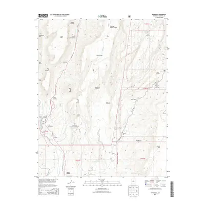
2013 Map of Ponderosa
USGS Topo · Published 2013About this map
Jemez Pueblo and the surrounding high mesa country are detailed in this 2013 survey, showing the complex intersection of tribal lands, national forest, and rural settlements. The drainage of the Jemez River and Rio Guadalupe defines the western landscape, while the eastern portion is dominated by the steep rises of San Juan Mesa and Borrego Mesa. Within the Santa Fe National Forest, the map records essential local infrastructure ranging from the Jemez Mountains Sanitary Landfill to recreational sites like the Paliza Group Campground.
Find a feature on this map
55 named features on this map. Tap any name to fly to it.
Don’t see what you’re looking for? This feature index may not catch every label — zoom into the map to look around manually.
Map Details
Editions of this 2013 Ponderosa Map
This is the sole edition of this map. No revisions or reprints were ever made.
Other maps of this area

1890 · Jemes
USGS Topo · 1:125,000

1892 · Jemes
USGS Topo · 1:125,000

1937 · Jemez Springs
USGS Topo · 1:48,000

1939 · La Ventana
USGS Topo · 1:62,500

1939 · San Ysidro
USGS Topo · 1:62,500

1943 · San Ysidro
USGS Topo · 1:62,500

1943 · Jemez
USGS Topo · 1:62,500

1943 · La Ventana
USGS Topo · 1:62,500

1944 · Jemez Springs
USGS Topo · 1:62,500

1952 · Jemez Springs
USGS Topo · 1:62,500