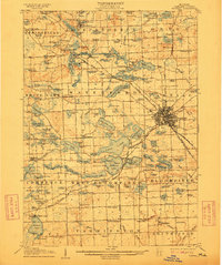
1907 Map of Pontiac
USGS Topo · Published 1912About this map
Orchard Lake and its surrounding waters define this landscape of early twentieth-century Oakland County, where recreational and institutional development began to shape the outskirts of the growing county seat. The Clinton River threads through a dense network of lakes, including Cass Lake and Elizabeth Lake, supporting early industries like the Bigelow Mill and a local Fish Hatchery. The map documents a transition in transportation, showing the established Grand Trunk RR alongside the Detroit and Pontiac Electric RR, signaling the arrival of the interurban era.
Find a feature on this map
173 named features on this map. Tap any name to fly to it.
Don’t see what you’re looking for? This feature index may not catch every label — zoom into the map to look around manually.
Map Details
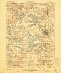
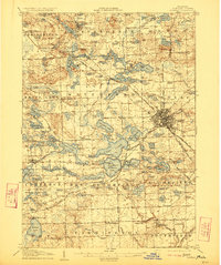
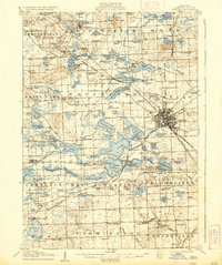
Editions of this 1907 Pontiac Map
5 editions found
Other maps of this area

1902 · South Lyon
USGS Topo · 1:62,500

1904 · Ann Arbor
USGS Topo · 1:125,000

1905 · Wayne
USGS Topo · 1:62,500

1905 · Detroit
USGS Topo · 1:62,500

1906 · South Lyon
USGS Topo · 1:62,500

1907 · Pontiac
USGS Topo · 1:62,500

1908 · Ann Arbor
USGS Topo · 1:125,000

1908 · Rochester
USGS Topo · 1:62,500

1909 · Milford
USGS Topo · 1:62,500

1912 · Wayne
USGS Topo · 1:62,500