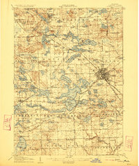
1907 Map of Pontiac
USGS Topo · Published 1923About this map
The Clinton River and its intricate network of surrounding lakes anchor this early 20th-century landscape, revealing a period of significant institutional and infrastructure growth in Oakland County. The city of Pontiac appears as a dense hub of activity, where the Grand Trunk RR and the Detroit Woodward Ave Pontiac Electric RR intersect, signaling the region's transition into a connected industrial and residential corridor. Outside the city center, the terrain is dotted with small rural schoolhouses like Proper School and Basset School, alongside specialized sites such as the Fish Hatchery near Drayton Plains. The map also captures the sprawling grounds of the Asylum and the Oakland County Home, while the presence of the Military Academy on Orchard Lake highlights the era's social and educational landmarks before the post-war suburban expansion transformed these townships.
Find a feature on this map
144 named features on this map. Tap any name to fly to it.
Don’t see what you’re looking for? This feature index may not catch every label — zoom into the map to look around manually.
Map Details
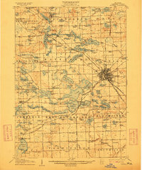
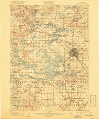
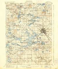
Editions of this 1907 Pontiac Map
5 editions found
Other maps of this area

1902 · South Lyon
USGS Topo · 1:62,500

1904 · Ann Arbor
USGS Topo · 1:125,000

1905 · Wayne
USGS Topo · 1:62,500

1905 · Detroit
USGS Topo · 1:62,500

1906 · South Lyon
USGS Topo · 1:62,500

1907 · Pontiac
USGS Topo · 1:62,500

1908 · Ann Arbor
USGS Topo · 1:125,000

1908 · Rochester
USGS Topo · 1:62,500

1909 · Milford
USGS Topo · 1:62,500

1912 · Wayne
USGS Topo · 1:62,500