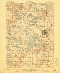
1907 Map of Pontiac
USGS Topo · Published 1918About this map
Pontiac emerges as a vital rail and civic hub in this early twentieth-century landscape, centered at the convergence of the Detroit and Grand Haven RR and the Grand Trunk RR. The presence of the large Asylum complex and the Oakland County Home near the city center points to the county's growing institutional infrastructure. To the northwest, the terrain is defined by an intricate network of water bodies, where the Clinton River threads through Drayton Plains and past a local Fish Hatchery. Rural life is meticulously documented through family-named landmarks and essential community nodes like the Sashabaw Church and numerous district schoolhouses, including the Proper School and Sly School. The transition from agrarian commerce to early industrial development is visible at sites like Bigelow Mill along the Franklin area, while the Military Academy sits prominently near the shores of Orchard Lake.
Find a feature on this map
157 named features on this map. Tap any name to fly to it.
Don’t see what you’re looking for? This feature index may not catch every label — zoom into the map to look around manually.
Map Details
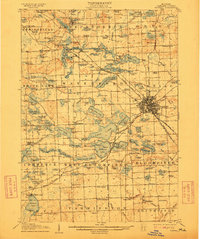
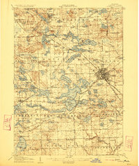
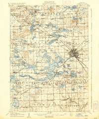
Editions of this 1907 Pontiac Map
5 editions found
Other maps of this area

1902 · South Lyon
USGS Topo · 1:62,500

1904 · Ann Arbor
USGS Topo · 1:125,000

1905 · Wayne
USGS Topo · 1:62,500

1905 · Detroit
USGS Topo · 1:62,500

1906 · South Lyon
USGS Topo · 1:62,500

1907 · Pontiac
USGS Topo · 1:62,500

1908 · Ann Arbor
USGS Topo · 1:125,000

1908 · Rochester
USGS Topo · 1:62,500

1909 · Milford
USGS Topo · 1:62,500

1912 · Wayne
USGS Topo · 1:62,500