
1951 Map of Ponzer
USGS Topo · Published 1953About this map
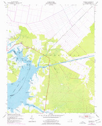
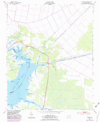
The Pungo River and its intricate network of marshes define this 1951 survey of the Hyde and Beaufort county line. Small settlements like Ponzer and Mt Olive are positioned along the edge of the wetlands, where the terrestrial landscape meets the tidal waters of Crabtree Bay and Back Landing Bay. The map documents a coastal economy and infrastructure reliant on water management and transit, evidenced by the Pungo River-Alligator River Intracoastal Waterway Canal and the Old State Canal.
Find a feature on this map
39 named features on this map. Tap any name to fly to it.
Don’t see what you’re looking for? This feature index may not catch every label — zoom into the map to look around manually.
Map Details
Editions of this 1951 Ponzer Map
3 editions found
Other maps of this area

1914 · Belhaven
USGS Topo · 1:48,000

1916 · Belhaven
USGS Topo · 1:62,500

1943 · Columbia
USGS Topo · 1:125,000

1943 · Plymouth
USGS Topo · 1:125,000

1951 · Pamlico Beach
USGS Topo · 1:24,000

1951 · Belhaven
USGS Topo · 1:24,000

1951 · Scranton
USGS Topo · 1:24,000

1951 · Swanquarter
USGS Topo · 1:24,000

1951 · New Lake SE
USGS Topo · 1:24,000

1953 · Rocky Mount
USGS Topo · 1:250,000