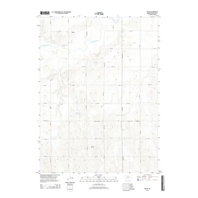
2014 Map of Poole
USGS Topo · Published 2014About this map
The settlement of Poole sits along the northern edge of this Buffalo County landscape, where the South Loup River winds through a series of wide, wandering bends. This 2014 survey documents a classic Nebraska plains environment defined by its drainage systems, including Sand Cr, Cedar Cr, and Sweet Cr, which feed the river valley. The map is a vital resource for genealogical research, pinpointing several local burial grounds such as Majors Cem in the west, Saint Joseph Cem to the east, and Pleasant Ridge Cem further south. Significant water management is noted at the Skochdopole Reservoir, illustrating how the agricultural landscape utilizes the local terrain. The grid of section roads like Ravenna Rd and Grand Island Rd provides a clear framework for tracing property boundaries and land use throughout the rural township.
Find a feature on this map
25 named features on this map. Tap any name to fly to it.
Don’t see what you’re looking for? This feature index may not catch every label — zoom into the map to look around manually.
Map Details
Editions of this 2014 Poole Map
This is the sole edition of this map. No revisions or reprints were ever made.
Other maps of this area

1896 · Kearney
USGS Topo · 1:125,000

1896 · Wood River
USGS Topo · 1:125,000

1899 · Loup
USGS Topo · 1:125,000

1951 · Hazard
USGS Topo · 1:24,000

1953 · Rockville
USGS Topo · 1:24,000

1953 · Ravenna
USGS Topo · 1:24,000

1955 · Broken Bow
USGS Topo · 1:250,000

1955 · Grand Island
USGS Topo · 1:250,000

1956 · Broken Bow
USGS Topo · 1:250,000

1957 · Grand Island
USGS Topo · 1:250,000