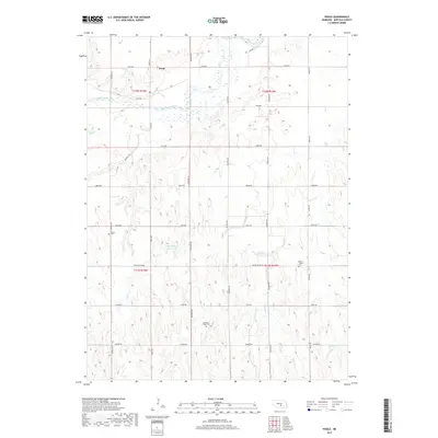
2017 Map of Poole
USGS Topo · Published 2017About this map
Poole sits along the northern banks of the South Loup River in Buffalo County, serving as the primary settlement in a landscape defined by braided river channels and sand creeks. The terrain is structured by a rigorous section-line road grid, including Husker Rd and Grand Island Rd, which navigate the subtle elevations of the Platte River valley watershed. Genealogists and local historians will find several rural burial sites, such as Majors Cem near the river and Saint Joseph Cem to the east. The presence of the Skochdopole Reservoir and various watercourses like Cedar Cr and Sweet Cr illustrate the vital role of water management in this agricultural region. This survey documents the modern layout of the rural Nebraska countryside, preserving the placement of family landmarks and community cemeteries within the historical township boundaries.
Find a feature on this map
28 named features on this map. Tap any name to fly to it.
Don’t see what you’re looking for? This feature index may not catch every label — zoom into the map to look around manually.
Map Details
Editions of this 2017 Poole Map
This is the sole edition of this map. No revisions or reprints were ever made.
Other maps of this area

1896 · Kearney
USGS Topo · 1:125,000

1896 · Wood River
USGS Topo · 1:125,000

1899 · Loup
USGS Topo · 1:125,000

1951 · Hazard
USGS Topo · 1:24,000

1953 · Rockville
USGS Topo · 1:24,000

1953 · Ravenna
USGS Topo · 1:24,000

1955 · Broken Bow
USGS Topo · 1:250,000

1955 · Grand Island
USGS Topo · 1:250,000

1956 · Broken Bow
USGS Topo · 1:250,000

1957 · Grand Island
USGS Topo · 1:250,000