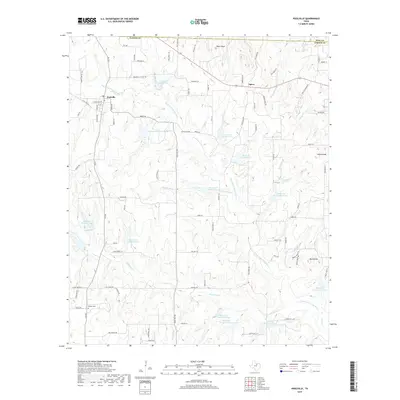
2019 Map of Poolville
USGS Topo · Published 2019About this map
Poolville and the nearby community of Agnes anchor this Parker County landscape, characterized by the winding path of the Clear Fork Trinity River. The terrain is defined by a sophisticated network of water management, evidenced by numerous numbered reservoirs such as Reservoir Number Four and Reservoir Number Eleven that dot the drainage basins of Cottonwood Creek and Gourdneck Creek. Genealogists will find interest in the proximity of Erwin Cemetery and Dilbeck Cemetery to the primary settlements and early road corridors like FM 920. High points including Skeen Peak, Indian Knob, and Buck Knob provide topographic relief across the northern and eastern sections of the quadrangle. The map captures a transition between the established town centers and the more rural, stream-dissected reaches of the upper Trinity River watershed.
Find a feature on this map
92 named features on this map. Tap any name to fly to it.
Don’t see what you’re looking for? This feature index may not catch every label — zoom into the map to look around manually.
Map Details
Editions of this 2019 Poolville Map
This is the sole edition of this map. No revisions or reprints were ever made.
Other maps of this area

1891 · Weatherford
USGS Topo · 1:125,000

1893 · Weatherford
USGS Topo · 1:125,000

1930 · Boyd
USGS Topo · 1:62,500

1932 · Springtown
USGS Topo · 1:62,500

1954 · Dallas
USGS Topo · 1:250,000

1954 · Sherman
USGS Topo · 1:250,000

1958 · Dallas
USGS Topo · 1:250,000

1958 · Sherman
USGS Topo · 1:250,000

1958 · Springtown
USGS Topo · 1:24,000
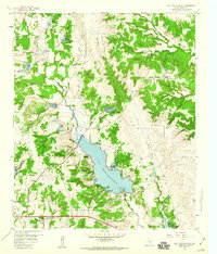
1959 · Lake Weatherford
USGS Topo · 1:24,000