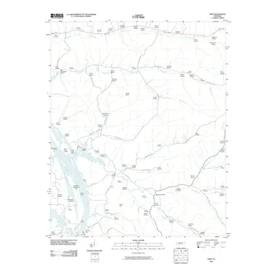
2010 Map of Pope
USGS Topo · Published 2010About this map
The Tennessee River defines the western edge of this landscape, where the Gumdale Dewatering Area and multiple historic river access points like Brownsport Landing and Kellys Landing speak to a long-standing relationship with the water. The interior is characterized by a dense network of named hollows and creek drainages, including Cypress Creek, Cedar Creek, and Marsh Creek. Family history is deeply rooted here, evidenced by numerous small burial grounds such as Gobelet Cemetery, Simmons Cemetery, and Richardson Cemetery. Industry and infrastructure are marked by the Perry County Airport in the northeast and the Cedar Creek Dock along the riverfront. The terrain transitions from the low-lying Halabough Bottom to elevated landmarks like Horses Head, with a complex system of rural routes including Swindle Creek Rd and New Era Landing Rd connecting these isolated settlements and family homesteads.
Find a feature on this map
127 named features on this map. Tap any name to fly to it.
Don’t see what you’re looking for? This feature index may not catch every label — zoom into the map to look around manually.
Map Details
Editions of this 2010 Pope Map
This is the sole edition of this map. No revisions or reprints were ever made.
Other maps of this area

1905 · Waynesboro
USGS Topo · 1:125,000

1936 · Pine View
USGS Topo · 1:24,000

1936 · Bath Springs
USGS Topo · 1:24,000

1936 · Linden
USGS Topo · 1:24,000

1936 · Leatherwood
USGS Topo · 1:24,000

1936 · Clifton
USGS Topo · 1:24,000

1936 · Chestnut Grove
USGS Topo · 1:24,000

1936 · Jeannette
USGS Topo · 1:24,000

1936 · Perryville
USGS Topo · 1:24,000

1936 · Pope
USGS Topo · 1:24,000