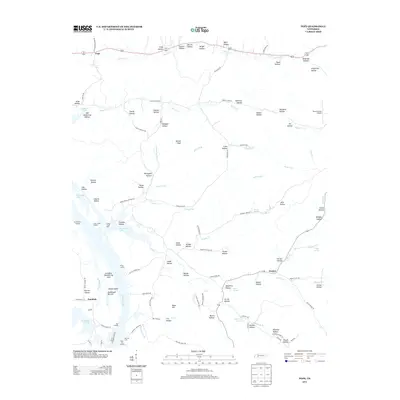
2013 Map of Pope
USGS Topo · Published 2013About this map
Kentucky Lake dominates the western edge of this landscape, its shoreline dotted with access points like Brownsport Landing, Cedar Creek Landing, and Kellys Landing. The interior is defined by a dense network of hollows and ridges, reflecting the traditional nomenclature of the region with family-named features such as Henson Hollow, Tracey Hollow, and Shipman Hollow. The Gumdale Dewatering Area sits adjacent to the lake, marking a managed transition between the Tennessee River valley and the higher ground to the east.
Find a feature on this map
117 named features on this map. Tap any name to fly to it.
Don’t see what you’re looking for? This feature index may not catch every label — zoom into the map to look around manually.
Map Details
Editions of this 2013 Pope Map
This is the sole edition of this map. No revisions or reprints were ever made.
Other maps of this area

1905 · Waynesboro
USGS Topo · 1:125,000

1936 · Pine View
USGS Topo · 1:24,000

1936 · Bath Springs
USGS Topo · 1:24,000

1936 · Linden
USGS Topo · 1:24,000

1936 · Leatherwood
USGS Topo · 1:24,000

1936 · Clifton
USGS Topo · 1:24,000

1936 · Chestnut Grove
USGS Topo · 1:24,000

1936 · Jeannette
USGS Topo · 1:24,000

1936 · Perryville
USGS Topo · 1:24,000

1936 · Pope
USGS Topo · 1:24,000