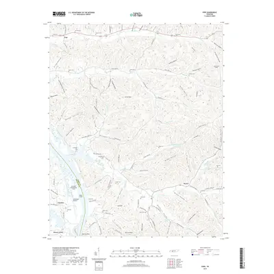
2019 Map of Pope
USGS Topo · Published 2019About this map
Gumdale and the Gumdale Dewatering Area occupy the western edge of this landscape where the Decatur Co and Perry Co line follows the meandering riverbed. The terrain is deeply carved by countless drainages like Cypress Cr and Marsh Cr, creating a dense network of hollows that defined early settlement patterns. This 2019 survey shows a high concentration of small family cemeteries, including Richardson Cem, Gobelet Cem, and Broadway Cem, which serve as vital markers of rural heritage across the ridges.
Find a feature on this map
145 named features on this map. Tap any name to fly to it.
Don’t see what you’re looking for? This feature index may not catch every label — zoom into the map to look around manually.
Map Details
Editions of this 2019 Pope Map
This is the sole edition of this map. No revisions or reprints were ever made.
Other maps of this area

1905 · Waynesboro
USGS Topo · 1:125,000

1936 · Pine View
USGS Topo · 1:24,000

1936 · Bath Springs
USGS Topo · 1:24,000

1936 · Linden
USGS Topo · 1:24,000

1936 · Leatherwood
USGS Topo · 1:24,000

1936 · Clifton
USGS Topo · 1:24,000

1936 · Chestnut Grove
USGS Topo · 1:24,000

1936 · Jeannette
USGS Topo · 1:24,000

1936 · Perryville
USGS Topo · 1:24,000

1936 · Pope
USGS Topo · 1:24,000