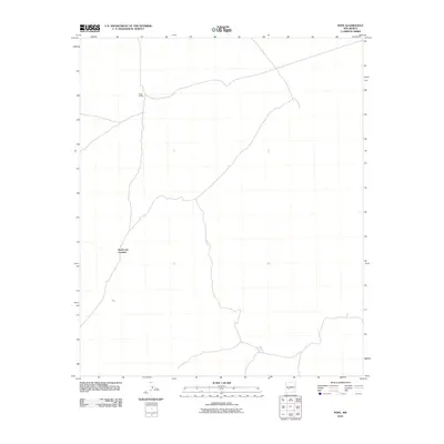
2010 Map of Pope
USGS Topo · Published 2010About this map
Pope Siding stands as a primary point of reference in this Socorro County landscape, marking the intersection of transportation and terrain. This 2010 survey by the U.S. Geological Survey documents a sparse but functionally named region, where the naming of Hard Luck Crossing suggests the challenging nature of the local geography or the historical experiences of those moving through it. The area is characterized by a network of local roads and 4WD tracks that connect these isolated points, reflecting the logistical reality of the New Mexico desert. The map captures the specialized infrastructure of the rail line at Pope Siding, providing a precise record of the remote intersections that define this portion of the state.
Find a feature on this map
3 named features on this map. Tap any name to fly to it.
Don’t see what you’re looking for? This feature index may not catch every label — zoom into the map to look around manually.
Map Details
Editions of this 2010 Pope Map
This is the sole edition of this map. No revisions or reprints were ever made.
Other maps of this area

1916 · Salinas Peak
USGS Topo · 1:125,000

1948 · Val Verde
USGS Topo · 1:62,500

1948 · Malpais Well
USGS Topo · 1:62,500

1954 · Tularosa
USGS Topo · 1:250,000

1958 · Tularosa
USGS Topo · 1:250,000

1961 · Paraje Well
USGS Topo · 1:24,000

1961 · Fort Craig
USGS Topo · 1:24,000

1961 · Lava
USGS Topo · 1:24,000

1979 · Truth or Consequences
USGS Topo · 1:100,000

1979 · San Mateo Mountains
USGS Topo · 1:100,000