
1961 Map of Lava
USGS Topo · Published 1964About this map
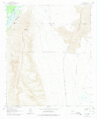
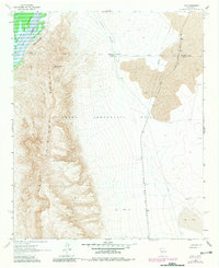
Fra Cristobal Range dominates the western portion of this 1961 survey, where the peaks of Fra Cristobal Mountain overlook the Rio Grande and the northern reaches of the Elephant Butte Reservoir. The landscape transitions sharply from the rugged elevations of Silver Canyon to the arid expanse of the Jornada del Muerto in the east. This area, largely defined by the Pedro Armendaris No 33 land grant, shows a reliance on scattered water sources such as Red Lake, the Red Lake Well, and the Navy Well.
Find a feature on this map
21 named features on this map. Tap any name to fly to it.
Don’t see what you’re looking for? This feature index may not catch every label — zoom into the map to look around manually.
Map Details
Editions of this 1961 Lava Map
Other maps of this area

1916 · Salinas Peak
USGS Topo · 1:125,000

1948 · Val Verde
USGS Topo · 1:62,500

1948 · Malpais Well
USGS Topo · 1:62,500

1954 · Tularosa
USGS Topo · 1:250,000

1958 · Tularosa
USGS Topo · 1:250,000

1961 · Paraje Well
USGS Topo · 1:24,000

1961 · Black Bluffs
USGS Topo · 1:24,000

1961 · Black Hill
USGS Topo · 1:24,000

1961 · Crocker
USGS Topo · 1:24,000

1961 · Romero Canyon
USGS Topo · 1:24,000