
1961 Map of Romero Canyon
USGS Topo · Published 1964About this map
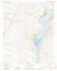
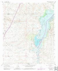
Elephant Butte Reservoir dominates the eastern half of this landscape, its waters filling the Rio Grande valley during a period of controlled irrigation and water management in the early 1960s. The map illustrates the complex hydrology of the region, featuring the Conveyance Channel and the constricted passage known as The Narrows. West of the reservoir, the terrain is defined by a series of deep drainage systems including Cuervo Canyon, Arroyo San Jose, and Romero Canyon which cut through the high desert floor.
Find a feature on this map
28 named features on this map. Tap any name to fly to it.
Don’t see what you’re looking for? This feature index may not catch every label — zoom into the map to look around manually.
Map Details
Editions of this 1961 Romero Canyon Map
3 editions found
Other maps of this area

1954 · Tularosa
USGS Topo · 1:250,000

1958 · Tularosa
USGS Topo · 1:250,000

1961 · Huerfano Hill
USGS Topo · 1:24,000

1961 · Sierra Fijardo
USGS Topo · 1:24,000

1961 · Paraje Well
USGS Topo · 1:24,000

1961 · Black Bluffs
USGS Topo · 1:24,000

1961 · Black Hill
USGS Topo · 1:24,000

1961 · Crocker
USGS Topo · 1:24,000

1961 · Lava
USGS Topo · 1:24,000

1964 · Steel Hill
USGS Topo · 1:24,000