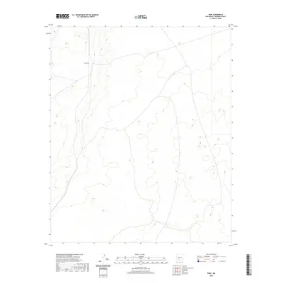
2020 Map of Pope
USGS Topo · Published 2020About this map
Pope Siding marks a point of industrial transit within the high desert terrain of Socorro County. This 2020 topographic study illustrates the sparse development of the region, focusing on the essential infrastructure required for transport through this arid landscape. The map reveals a land defined more by its contours and elevations than by concentrated settlements, with the railroad siding serving as the primary named landmark. This specific area reflects the enduring importance of rail connectivity in facilitating movement across the vast stretches of New Mexico, where localized outposts like Pope Siding remain critical reference points for navigation and logistics in the modern era.
Find a feature on this map
1 named feature on this map. Tap any name to fly to it.
Don’t see what you’re looking for? This feature index may not catch every label — zoom into the map to look around manually.
Map Details
Editions of this 2020 Pope Map
This is the sole edition of this map. No revisions or reprints were ever made.
Other maps of this area

1916 · Salinas Peak
USGS Topo · 1:125,000

1948 · Val Verde
USGS Topo · 1:62,500

1948 · Malpais Well
USGS Topo · 1:62,500

1954 · Tularosa
USGS Topo · 1:250,000

1958 · Tularosa
USGS Topo · 1:250,000

1961 · Paraje Well
USGS Topo · 1:24,000

1961 · Fort Craig
USGS Topo · 1:24,000

1961 · Lava
USGS Topo · 1:24,000

1979 · Truth or Consequences
USGS Topo · 1:100,000

1979 · San Mateo Mountains
USGS Topo · 1:100,000