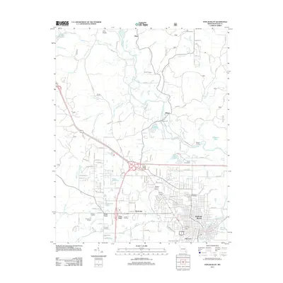
2011 Map of Poplar Bluff
USGS Topo · Published 2011About this map
The Black River meanders southward through the center of this map, dictating the development of Butler County communities like Poplar Bluff and Hilliard. This 2011 survey captures a landscape defined by its riparian geometry, where historic crossing points such as Shipman Ford and the Mengo Bridge connect the eastern wetlands and sloughs with the more densely settled residential corridors to the west. Small community clusters like Loma Linda, Shady Dell, and Kelly Town illustrate the suburban expansion radiating from the city center.
Find a feature on this map
110 named features on this map. Tap any name to fly to it.
Don’t see what you’re looking for? This feature index may not catch every label — zoom into the map to look around manually.
Map Details
Editions of this 2011 Poplar Bluff Map
This is the sole edition of this map. No revisions or reprints were ever made.
Other maps of this area

1934 · Williamsville
USGS Topo · 1:48,000

1935 · Poplar Bluff
USGS Topo · 1:62,500

1935 · Acorn
USGS Topo · 1:62,500

1935 · Harviell
USGS Topo · 1:62,500

1939 · Poplar Bluff
USGS Topo · 1:62,500

1940 · Williamsville
USGS Topo · 1:62,500

1940 · Naylor
USGS Topo · 1:62,500

1944 · Naylor
USGS Topo · 1:62,500

1949 · Poplar Bluff
USGS Topo · 1:62,500

1957 · Poplar Bluff
USGS Topo · 1:250,000