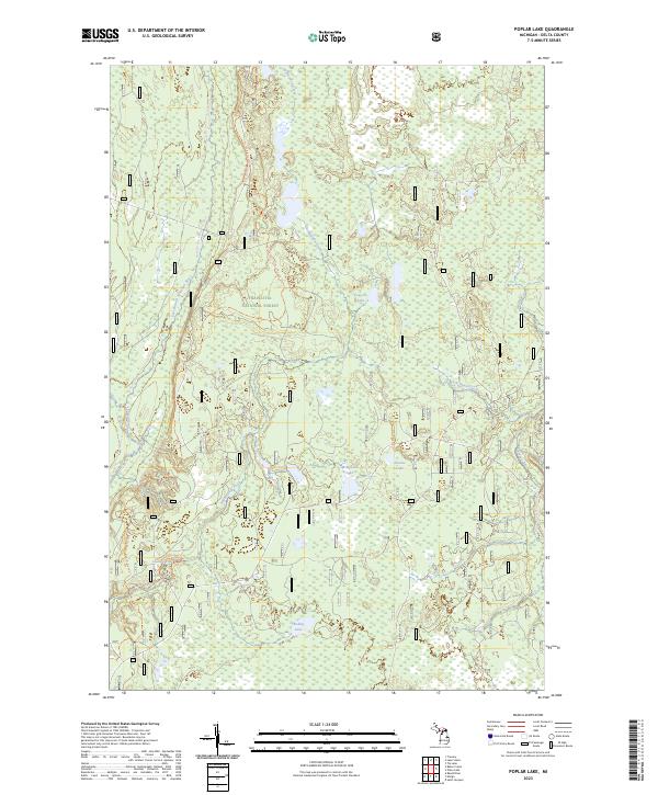
2023 Map of Poplar Lake
USGS Topo · Published 2023About this map
Hiawatha National Forest dominates this section of the Upper Peninsula, where protected river corridors and glacial lakes define the drainage patterns of Delta County. The Whitefish Wild and Scenic River and its East Branch carve through the western portion of the map, while the Sturgeon Wild and Scenic River skirts the eastern boundary. This hydrological network is punctuated by Haymeadow Falls on Haymeadow Creek, a significant local landmark within the timbered landscape.
Find a feature on this map
15 named features on this map. Tap any name to fly to it.
Don’t see what you’re looking for? This feature index may not catch every label — zoom into the map to look around manually.
Map Details
Editions of this 2023 Poplar Lake Map
This is the sole edition of this map. No revisions or reprints were ever made.
Other maps of this area

1932 · Rapid River NE
USGS Topo · 1:31,680

1932 · Trenary SW
USGS Topo · 1:31,680

1932 · Garden NW and SW
USGS Topo · 1:31,680

1932 · Rapid River NW
USGS Topo · 1:31,680

1932 · Trenary SE
USGS Topo · 1:31,680

1932 · Skeels Lake NW and SW
USGS Topo · 1:31,680

1954 · Escanaba
USGS Topo · 1:250,000

1957 · Escanaba
USGS Topo · 1:250,000

1958 · Escanaba
USGS Topo · 1:250,000

1958 · Corner Lake
USGS Topo · 1:62,500