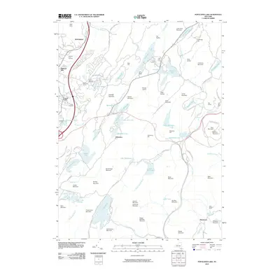
2010 Map of Popolopen Lake
USGS Topo · Published 2010About this map
Harriman State Park dominates this landscape, revealing a high-elevation network of lakes and ridgelines in the Hudson Highlands. The map illustrates a concentration of organized recreational and military-affiliated camps, including Camp Buckner and West Point Girls Camp, situated around water bodies like Popolopen Lake and Lake Frederick. Local heritage is anchored by the communities of Highland Mills and Central Valley in the west, while smaller settlements like Baileytown and Bulsontown provide points of interest for genealogists.
Find a feature on this map
116 named features on this map. Tap any name to fly to it.
Don’t see what you’re looking for? This feature index may not catch every label — zoom into the map to look around manually.
Map Details
Editions of this 2010 Popolopen Lake Map
This is the sole edition of this map. No revisions or reprints were ever made.
Other maps of this area

1891 · Ramapo
USGS Topo · 1:62,500

1892 · West Point
USGS Topo · 1:62,500

1892 · Tarrytown
USGS Topo · 1:62,500

1893 · Tarrytown
USGS Topo · 1:62,500

1893 · Ramapo
USGS Topo · 1:62,500

1894 · West Point
USGS Topo · 1:62,500

1899 · West Point
USGS Topo · 1:62,500

1901 · West Point
USGS Topo · 1:62,500

1902 · Tarrytown
USGS Topo · 1:62,500

1902 · Schunemunk
USGS Topo · 1:62,500