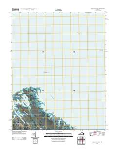
2011 Map of Poquoson East
USGS Topo · Published 2011About this map
Poquoson sits at the edge of the Chesapeake Bay, where a complex network of tidal creeks and marshy islands meets the mainland. This area of the Virginia Peninsula is characterized by low-lying terrain like Blackwalnut Ridge, which provides a slight elevation contrast to the surrounding Poquoson Flats. In the southern reaches, the settlement of Odd is situated near Eastern Cemetery, marking a quiet corner of the coastal landscape before it dissolves into the waters of Easton Cove.
Find a feature on this map
26 named features on this map. Tap any name to fly to it.
Don’t see what you’re looking for? This feature index may not catch every label — zoom into the map to look around manually.
Map Details
Editions of this 2011 Poquoson East Map
This is the sole edition of this map. No revisions or reprints were ever made.
Other maps of this area

1907 · Hampton
USGS Topo · 1:62,500

1916 · Mathews
USGS Topo · 1:62,500

1917 · Mathews
USGS Topo · 1:62,500

1943 · Richmond
USGS Topo · 1:250,000

1944 · Hampton
USGS Topo · 1:24,000

1944 · Messick
USGS Topo · 1:24,000

1944 · Morrison
USGS Topo · 1:24,000

1944 · Harris Grove
USGS Topo · 1:24,000

1948 · Achilles
USGS Topo · 1:24,000

1948 · New Point Comfort
USGS Topo · 1:24,000