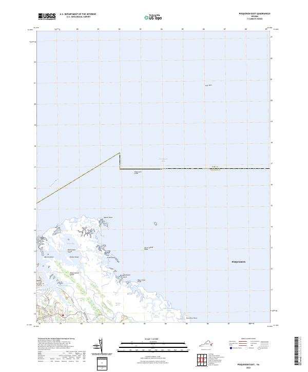
2022 Map of Poquoson East
USGS Topo · Published 2022About this map
The coastal interface of York County and Poquoson City is defined by a complex network of marshes, inlets, and islands as they meet the Chesapeake Bay. Significant landforms like Blackwalnut Ridge rise slightly above the surrounding Big Salt Marsh, illustrating the subtle topographic shifts that dictate settlement and ecological boundaries in this part of Virginia. The map documents numerous tidal features, including Poquoson Flats and Drum Island Flats, which stretch into the bay near York Spit. To the south, narrow waterways like Fire Pine Creek and Thorofare Creek wind toward Plumtree Point. Local travel is clustered along the southwestern edge, where roads such as Poquoson Avenue and Little Florida Road provide access to the waterfront and residential pockets near Easton Cove and Floyds Bay.
Find a feature on this map
33 named features on this map. Tap any name to fly to it.
Don’t see what you’re looking for? This feature index may not catch every label — zoom into the map to look around manually.
Map Details
Editions of this 2022 Poquoson East Map
This is the sole edition of this map. No revisions or reprints were ever made.
Other maps of this area

1907 · Hampton
USGS Topo · 1:62,500

1916 · Mathews
USGS Topo · 1:62,500

1917 · Mathews
USGS Topo · 1:62,500

1943 · Richmond
USGS Topo · 1:250,000

1944 · Hampton
USGS Topo · 1:24,000

1944 · Messick
USGS Topo · 1:24,000

1944 · Morrison
USGS Topo · 1:24,000

1944 · Harris Grove
USGS Topo · 1:24,000

1948 · Achilles
USGS Topo · 1:24,000

1948 · New Point Comfort
USGS Topo · 1:24,000