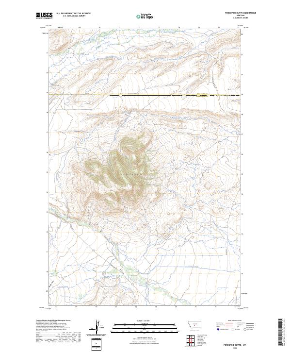
2024 Map of Porcupine Butte
USGS Topo · Published 2024About this map
Porcupine Butte dominates the central landscape of this Montana survey, providing a prominent landmark at the intersection of Wheatland Co and Sweet Grass County. The map reveals a complex system of hydraulic engineering designed to manage water in the arid foothills, with numerous irrigation features such as Tronrud Ditch, Johnson Ditch, and Hart-Parker Ditch diverting flow from major drainages. Sweet Grass Creek meanders across the southern portion of the quadrangle, while American Fork and Agnes Creek define the northern drainages. The human footprint is marked by a network of ranch and access roads including Porcupine Butte Rd and Melville Rd, illustrating the intersection of large-scale cattle ranching and modern water management. The land is precisely divided by township and range lines, showing the enduring influence of the Public Land Survey System on the development of this rural ranching country.
Find a feature on this map
26 named features on this map. Tap any name to fly to it.
Don’t see what you’re looking for? This feature index may not catch every label — zoom into the map to look around manually.
Map Details
Editions of this 2024 Porcupine Butte Map
This is the sole edition of this map. No revisions or reprints were ever made.
Other maps of this area

1886 · Little Belt Mts.
USGS Topo · 1:250,000

1889 · Big Snowy Mountain
USGS Topo · 1:250,000

1893 · Big Snowy Mountain
USGS Topo · 1:250,000

1894 · Little Belt Mts.
USGS Topo · 1:250,000

1897 · Little Belt Mts.
USGS Topo · 1:250,000

1898 · Little Belt Mts.
USGS Topo · 1:250,000

1902 · Little Belt Mts.
USGS Topo · 1:250,000

1948 · White Sulphur Springs
USGS Topo · 1:250,000

1954 · Roundup
USGS Topo · 1:250,000

1958 · Roundup
USGS Topo · 1:250,000