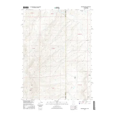
2017 Map of Porcupine Ridge
USGS Topo · Published 2017About this map
Porcupine Mtn and Porcupine Ridge dominate this high-altitude landscape along the border of Utah and Wyoming. The terrain is defined by a dense network of seasonal drainages and creek beds, including Yellow Creek, Willow Cr, and Chicken Cr, which carve through the uplift. In the northern reaches, the Barker Reservoir and the wide drainage of Sage Creek Draw indicate the collection of snowmelt from the surrounding peaks. The map reveals a land utilized for water management and transit, with Yellow Creek Rd and Co Rd 153 following the natural contours of the basin. The southern portion of the quadrangle opens into the Chalk Creek Basin, where the topography softens into alluvial draws like Randall Draw and Section Six Draw, showing how the hydrology of Chalk Cr has historically shaped the local geography.
Find a feature on this map
31 named features on this map. Tap any name to fly to it.
Don’t see what you’re looking for? This feature index may not catch every label — zoom into the map to look around manually.
Map Details
Editions of this 2017 Porcupine Ridge Map
This is the sole edition of this map. No revisions or reprints were ever made.
Other maps of this area

1885 · Salt Lake
USGS Topo · 1:250,000

1885 · Uinta
USGS Topo · 1:250,000

1900 · Coalville
USGS Topo · 1:125,000

1901 · Hayden Peak
USGS Topo · 1:125,000

1903 · Hayden Peak
USGS Topo · 1:125,000

1903 · Coalville
USGS Topo · 1:125,000

1954 · Salt Lake City
USGS Topo · 1:250,000

1954 · Ogden
USGS Topo · 1:250,000

1958 · Ogden
USGS Topo · 1:250,000

1958 · Salt Lake City
USGS Topo · 1:250,000